
31/Aug – 03/Sep
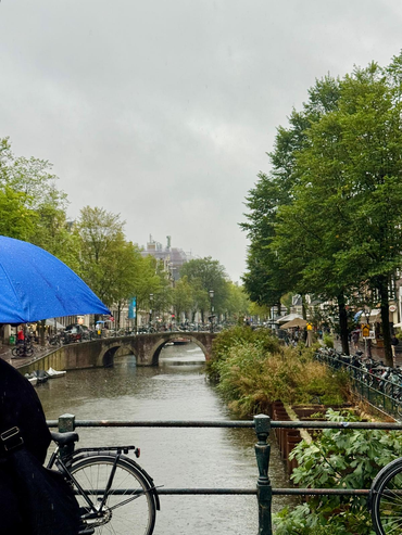
After Amsterdam, Bruges felt almost like a change of scale.
I arrived by bus and was immediately given a choice: around twenty minutes by public transport or roughly forty minutes walking to where I was staying. Tired, carrying luggage and having already spent much of the day travelling, I chose to walk.
That decision gave me something I probably would have missed otherwise: a gradual introduction to the city. At first, little suggested the Bruges millions of visitors come to see. Then towers began appearing above the roofs. The architecture became older, the streets narrower and the number of visitors increased almost step by step until, without any dramatic entrance, I realised I had entered the historic centre.
That first walk already revealed something that would become important during the following days. Bruges has an unusually readable historical geography. There are places where the transition into the old city can almost be felt physically, not because contemporary life suddenly disappears, but because streets, waterways, buildings and the surviving traces of the former fortifications begin to form a remarkably coherent landscape.
What exactly is World Heritage here?
The Historic Centre of Brugge was inscribed on the UNESCO World Heritage List in 2000. The property covers 410 hectares and encompasses much of the historic urban centre, rather than a single monument or small architectural ensemble.
Its significance is closely connected to the long continuity of the city itself. Medieval Bruges became one of Europe’s major commercial and cultural centres, linked through trade to a wide network of cities and regions. Its economic importance supported civic, religious and artistic development, leaving a dense concentration of churches, public buildings, hospitals, commercial structures and domestic architecture.
The city also became an important centre of the Flemish Primitives, associated with figures such as Jan van Eyck and Hans Memling.
Much of the medieval street pattern and canal network survived. Although most of the original fortifications disappeared, their line remains legible through waterways, ramparts and the surviving city gates.
UNESCO also makes an important distinction: Bruges is not valued because it has remained unchanged. Its heritage lies partly in the continuity between historical fabric and centuries of adaptation. The city is explicitly described as an active, living city.
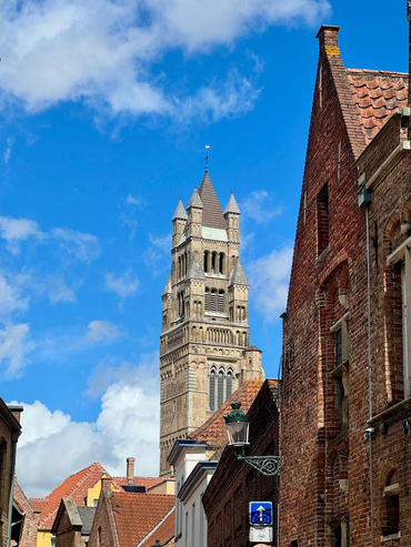
Walking through Bruges, that continuity is immediately understandable. The skyline, canals, brick architecture, narrow plots and street network create one of the clearest historic urban landscapes I encountered during the trip.
Precisely because the physical city is so legible, it becomes interesting to look at how contemporary functions fit within it.
Following the postcard
On my second day, I deliberately followed the places through which most visitors encounter Bruges.
Markt, Burg, the canals and the monumental streets connecting them. It is difficult not to be impressed. Bruges has an unusual degree of visual continuity and, in some moments, the historic centre feels almost composed as one continuous urban scene.
The commercial landscape also becomes recognisable quite quickly: chocolate, waffles, fries, beer, souvenirs, restaurants, hotels and boat tours.
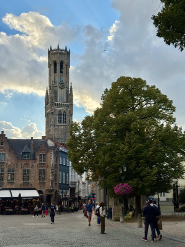
None of these activities is unusual in a major heritage destination. What interested me was their spatial organisation. In some of the most visited streets, visitor-oriented activities are especially visible. A few streets away, the balance can change considerably. Residential entrances, quieter cafés, pubs, small businesses and less specialised activities become easier to notice.
The distinction is not absolute. A café can serve both residents and visitors, a chocolate shop can be part of the visitor economy while also contributing to the contemporary identity of Bruges. Tourism itself is deeply integrated into the city’s economy and international visibility.
What walking made visible was therefore not a simple separation between “tourist” and “local” areas, but different degrees of functional concentration.
A street where many businesses respond to similar visitor demands can operate differently from another street where a broader range of functions coexist, even when both belong to the same historic fabric.
A few days later, while we were both in Brussels, I had the opportunity to discuss this with Karel Dendooven, Manager of the Department of Monument Preservation and Heritage Affairs of Bruges.
His perspective added an important management dimension to what I had noticed on foot.
He explained that the concentration of visitor-oriented activities within particular central areas also has a spatial logic. Keeping these uses relatively concentrated can help limit their spread throughout other parts of the city. At the same time, high concentration naturally gives some streets a much more specialised commercial profile.
What I had initially perceived simply as repetition therefore became more interesting as an example of urban management involving competing objectives rather than straightforward solutions.
The question is not whether tourism should or should not be present. Bruges’ attractiveness is itself closely connected to the success of its heritage preservation.
The more interesting issue is how different functions can continue to coexist within the same historic centre.
From postcard to neighbourhood
Whenever I moved away from the principal visitor routes, the city changed gradually.
Around Coupure, along the former ramparts and later towards the station, crowds became less prominent. Residential uses were easier to notice, streets became quieter and different types of everyday landscape emerged.
Near the cycling tunnel by Brugge station I even found a small green area with donkeys, an unexpectedly rural-looking scene after hours of canals, medieval towers and monumental streets.
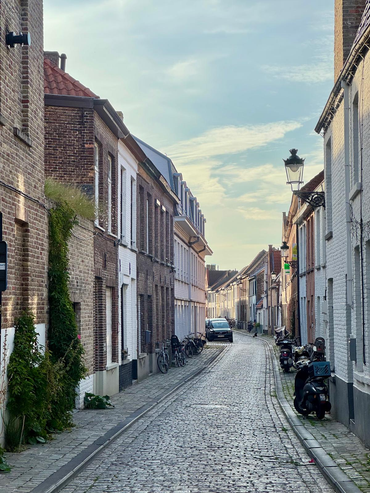
This helped clarify something important for Beyond the Postcard. The aim is not to leave the visitor areas behind in search of a supposedly more “authentic” Bruges.
The central squares, boat tours, chocolate shops and hotels are as much part of contemporary Bruges as its quieter residential streets.
What changes is the relative presence of different activities and users. These landscapes coexist but do not occupy space evenly.
That becomes particularly visible in Bruges because the historic boundary itself remains unusually readable. Ezelpoort, Smedenpoort, Gentpoort and Kruispoort still mark passages through the line once defined by the fortifications, while waterways and the remaining ramparts reinforce the overall form of the historic city.
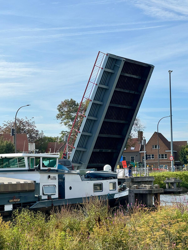
Experiencing these edges on foot made me think less about the World Heritage boundary itself and more about the functional geographies operating inside and around it.
Where do different commercial activities concentrate? Where is housing more visible? Where do visitors and residents appear to share the same spaces most naturally? How quickly does the intensity of the central visitor landscape change?
Unlike the UNESCO boundary, these patterns cannot be represented by a single precise line. They behave more like gradients.
For a spatial approach, this is particularly useful. A historic centre can appear as a coherent polygon on a map while containing several very different urban environments within that same boundary.
Continuity beyond the buildings
My conversation with Karel also introduced another dimension: residential continuity.
A living historic centre needs to accommodate different functions at the same time. Housing, hotels, businesses, services, cultural activities and visitor infrastructure all compete for limited central space, while responding to different economic conditions.
This does not mean that one of these uses is inherently incompatible with the others. Instead, it makes the balance between them part of heritage management itself.
The question becomes not only how buildings are conserved, but how a historic centre continues to perform as a contemporary urban environment.
That is particularly relevant in Bruges because the city has achieved such strong material continuity.
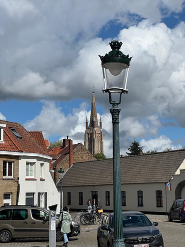
The skyline, canals, Gothic architecture, street pattern and historic buildings create a powerful sense of continuity, but a city is also made by less visible elements: everyday routines, economic activities, social relationships, knowledge of place and patterns of use.
These inevitably evolve. The important point is not to expect historical functions to remain frozen. Cities have always changed, and Bruges itself contains layers of adaptation accumulated over centuries.
What becomes interesting is understanding how contemporary changes interact with the functions already present.
Tourism illustrates this particularly well. It should not be understood simply as an external pressure on the city. People visit Bruges because its heritage has been preserved successfully and because the city offers an exceptional urban experience. Tourism is therefore partly an outcome of heritage value.
At the same time, visitor demand influences commercial activity, investment and the ways central space is used.
Karel’s explanation of concentration made this relationship more nuanced for me. Spatial concentration can help organise visitor activity and protect other parts of the city from the same intensity, while also creating very distinct functional landscapes within the centre.
Seen this way, the relevant questions become more analytical.
How are different activities distributed across the historic centre? How does commercial diversity vary between highly visited streets and quieter areas? Where does housing remain most visible? Which spaces seem to support overlapping uses rather than specialised ones?
My walks could suggest these patterns, but they could not explain them fully.
Observation shows where contrasts appear. Conversations with people who know the city help place those contrasts within a wider institutional, economic and social context. More systematic spatial and socioeconomic data would then be necessary to understand their scale and representativeness.
This is increasingly where I see the role of Beyond the Postcard: not as a complete assessment of a city, but as a way of identifying relationships and questions that become visible through movement, observation and dialogue.
What Bruges left me with
Bruges left me with a different emphasis from Amsterdam.
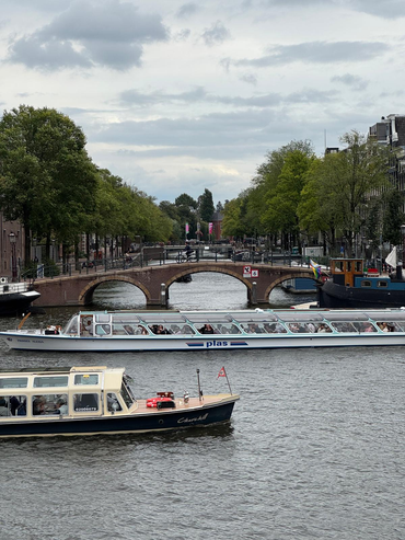
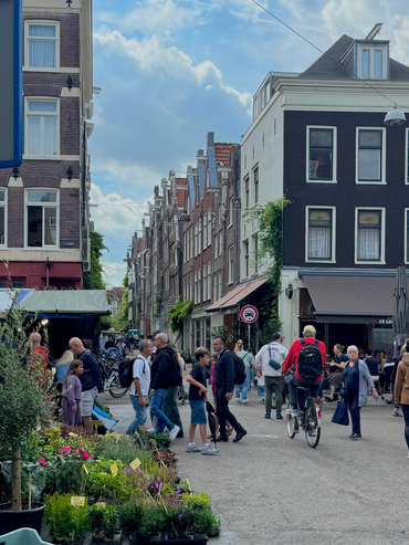
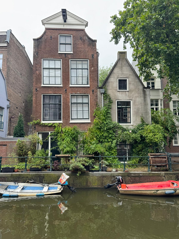
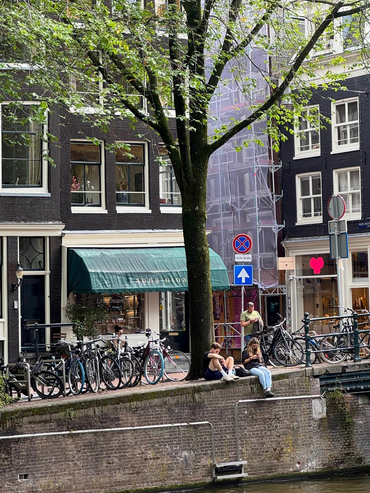
Amsterdam made particularly visible the coexistence of several intense urban systems within the same physical city.
Bruges made me think more about continuity.
The continuity of its streets and architecture is immediately visible, but the continuity of a living city also depends on how different functions remain accommodated within that fabric.
After three days, my strongest impression was not of a city frozen in the past, nor of one defined exclusively by tourism.
It was of a city where heritage, residence, commerce and visitation are closely interwoven, but become more or less visible depending on where you walk.
Moving between crowded central streets, quiet canals, residential areas and the edges of the former fortifications made those differences tangible. My later conversation with Karel helped explain why some of them may also reflect deliberate choices and wider management trade-offs.
For Beyond the Postcard, Bruges became an example of how preservation can be considered not only in terms of what physically survives, but also in terms of how a historic urban structure continues to accommodate change without losing the diversity of functions that make it a city.