
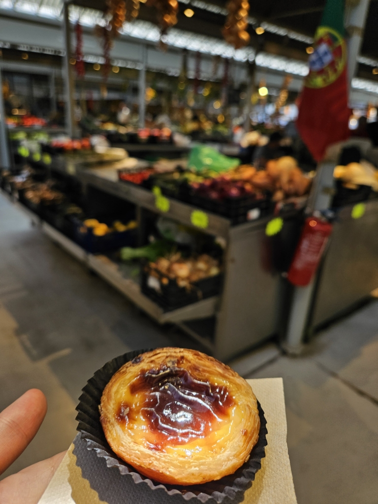
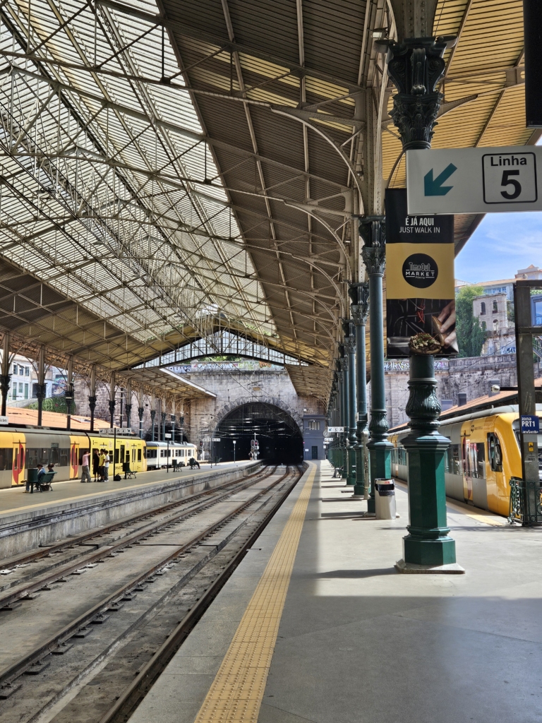
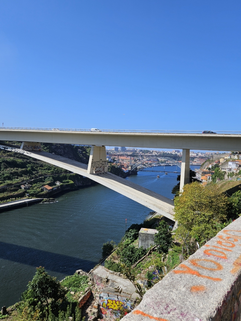
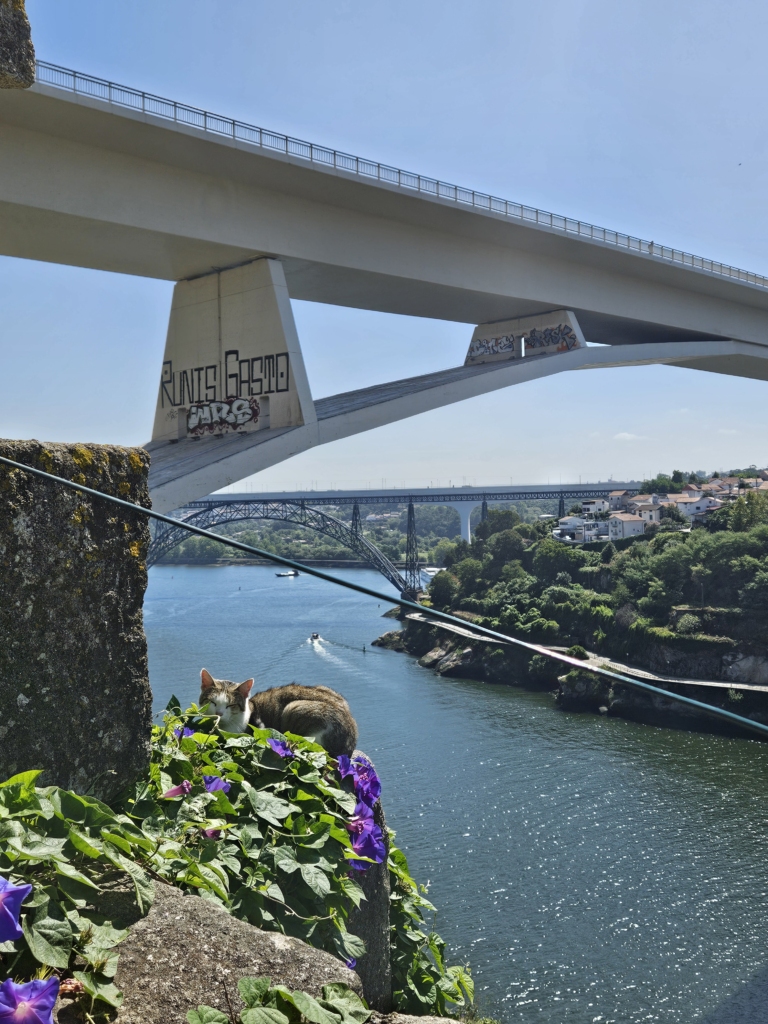
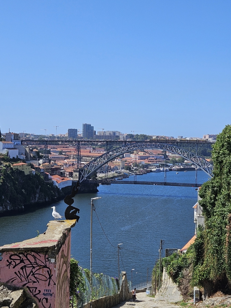
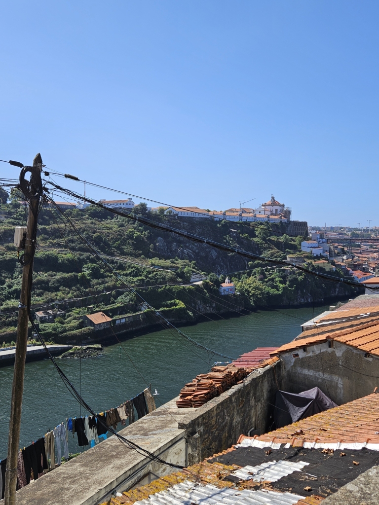
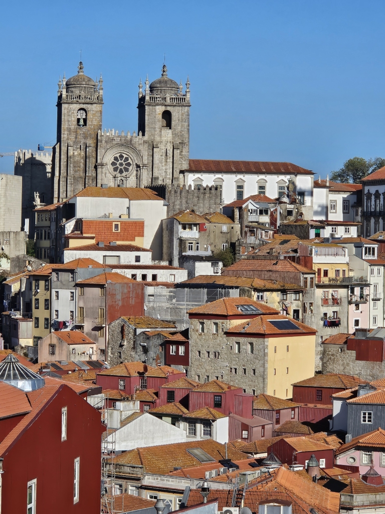
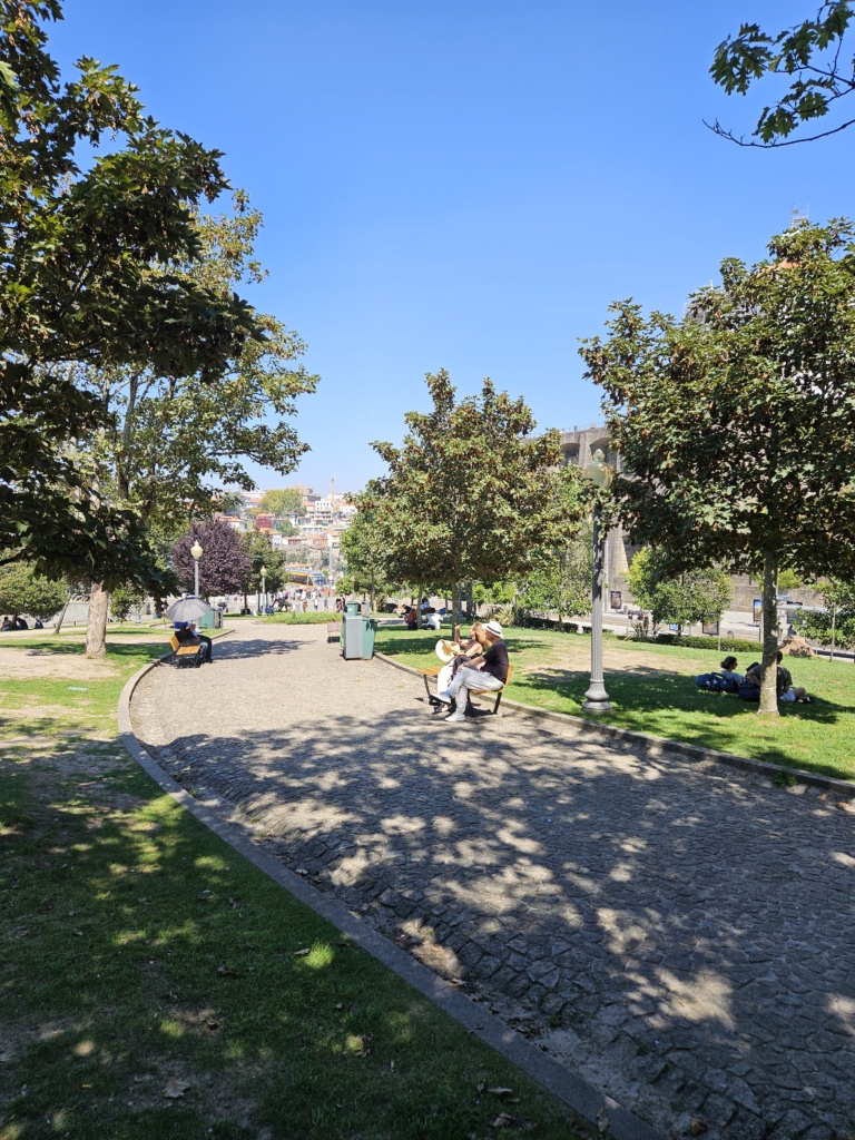
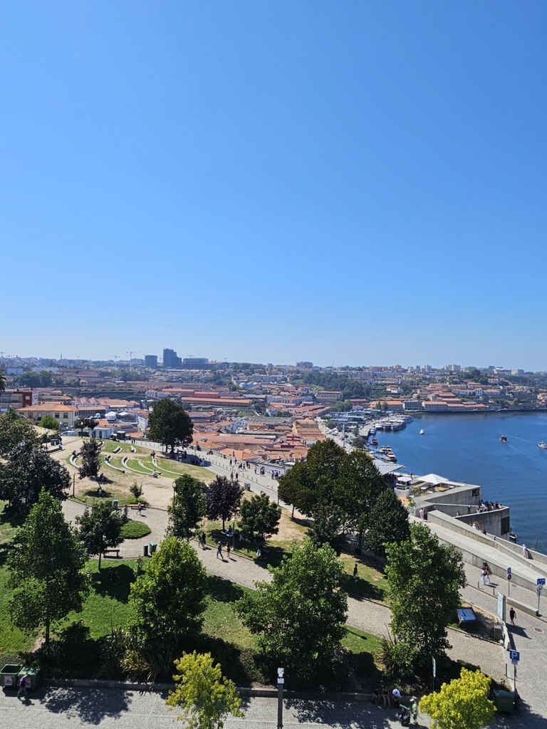
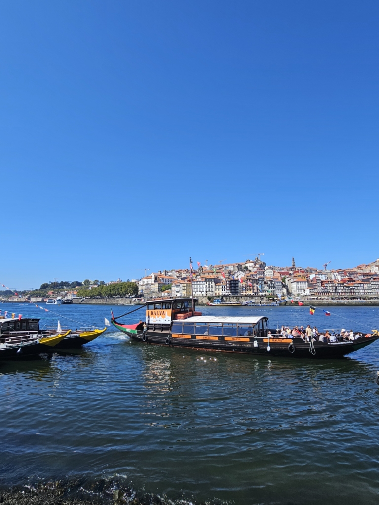
After a three-hour flight, we finally landed in Porto! Once we arrived in the city by metro, we had three hours before we could check into our accommodation. So, with our backpacks, we set out to explore hilly Porto for the first time. On the way, we came across the Mercado do Bolhão, with its many stalls selling baked goods, fruit, spices and much more besides. After Mia devoured her first Pastel de Nata, we continued on our way to buy train tickets at São Bento station. It was the most beautiful train station we had seen so far!
During the rest of our exploration, we came across the Ohana Market, a small market in a courtyard where vendors sold crafts and art. As we strolled through the streets, we spotted capoeira dancers and narrow, steep alleys, and heard the calls of seagulls.
After checking into our apartement, we went for groceries at a mall and chatted with some very friendly and warm-hearted Portuguese people.
At the mall, we met Tiago and Ila, who have been living in Porto for five years. Both came here for work or study opportunities. During our conversation, they both highlighted the warm and welcoming people of Porto, who they say are a very important part of the city and make it such a great place to live. Another aspect is that the city is forward-looking and open to people. It’s a large city with extensive infrastructure, which doesn’t exactly make it quiet, but you can still find peace and calm in certain spots. They both love Parque de São Roque.
Vitoria has been living in Porto for a year and a half and moved here for work. She moved from a town near Lisbon to Porto because she doesn’t really like Lisbon. Also, her sister and most of her friends live near Porto, which was another reason she moved here. She also enjoys living here because of the friendly people. In her neighborhood, she has everything she needs close by, yet she doesn’t feel like she’s living in a big city. The helpful people who greet each other on the street make her feel like she’s living in a smaller town. One of her favorite neighborhoods in Porto is Bonfim, where most people know each other and Fountainhas, where she likes to spend her time during the São João festival.
Mariana also likes the welcoming people in Porto. Arthur is from Brazil and has been living in Porto for four years. He, too, highlights how the people there are especially welcoming, even to strangers. Both of them also like Porto’s fast-paced lifestyle and how the energy of the people there resembles that in Brazil. Mariana also mentions that the people and culture in Porto are very international, which makes Porto a particularly beautiful city. In Porto, she especially likes Aliados Avenue because people are constantly coming and going there, and it’s an energetic place where you can socialize with others.
The next day, we went to a vegan bakery first and stocked up on Portuguese pastries. We then headed to Fountainhas, following Vitoria’s advice. En route, we admired the beautiful tiled houses. Once we arrived in Fontainhas, we enjoyed a wonderful view of the Douro River and its bridges. We were in a large square with a basketball hoop and concrete slabs to sit on. That’s where we ate our Pasteis de Nata and Pão de queijo.
Afterwards, we continued walking and found the steepest street. There were also lots of seagulls and a few cats who apparently liked to sleep and relax by the life-threatening precipice.
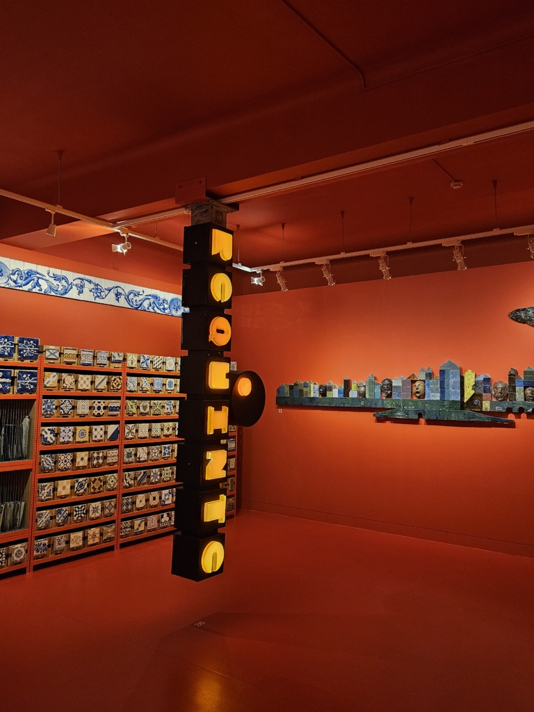
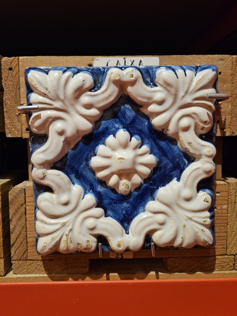
We also walked to the Museu da Cidade do Porto. There, we saw many different types of tiles that you see everywhere on the streets. Unfortunately, the information boards were only in Portuguese and we couldn’t understand anything.
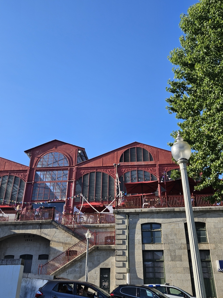
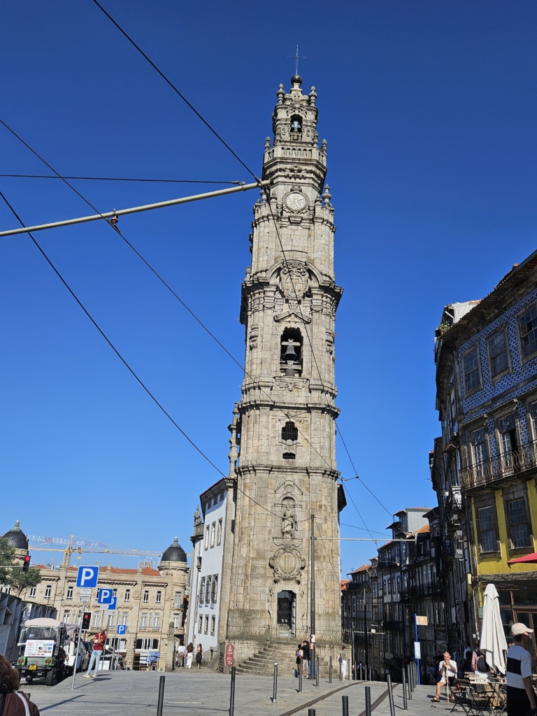
We then wandered aimlessly through the city towards the river, seeing lots of things along the way, like the Mercado Ferreira Borges, Torre dos Clérigos, a ceramics shop and a lookout point that could only be accessed by squeezing through gaps in a fence.
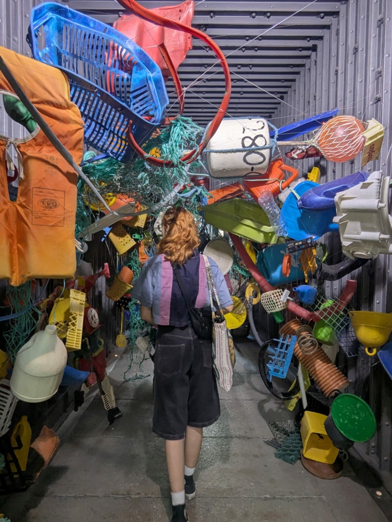
After squeezing through and enjoying the view, we continued walking down the stairs to a market where young artists were exhibiting and selling their crafts. We saw an installation that allowed you to view all the rubbish collected from the ocean from a fish’s perspective.
As we walked along, we saw lots of graffiti, beautiful tiles and lovely churches. Wherever you look, you will find elements that make the street special!
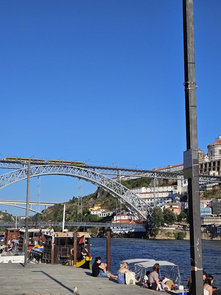
We also went to the banks of the Douro, where we sat down for a while to relax.
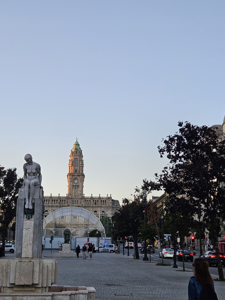
Afterwards, we headed to Aliados, Mariana’s favourite spot. On the way, we saw people jumping into the water from the bridge and watched a breakdancing show right next to it.
However, Aliados Avenue was a bit of a letdown since there weren’t that many people hanging out there. However, we did spot a few small tables and chairs inviting you to linger, and there were a few people sitting here and there.
On our third day, we walked across the Ponte Dom Luís I, which was very crowded, but which offered beautiful views of the river and the city.
On the other side of the Douro River lies the Jardim do Morro, which wasn’t crowded yet, but every shaded spot was in high demand. After a short, steep climb, we made our way up to the Igreja e Claustro da Serra do Pilar and were rewarded with another beautiful view!
We then set off for the old town of Gaia — the neighbourhood on the opposite riverbank — and climbed lots of stairs again. On the Gaia riverbank, we took another short break to listen to a street musician confidently improvising lyrics.
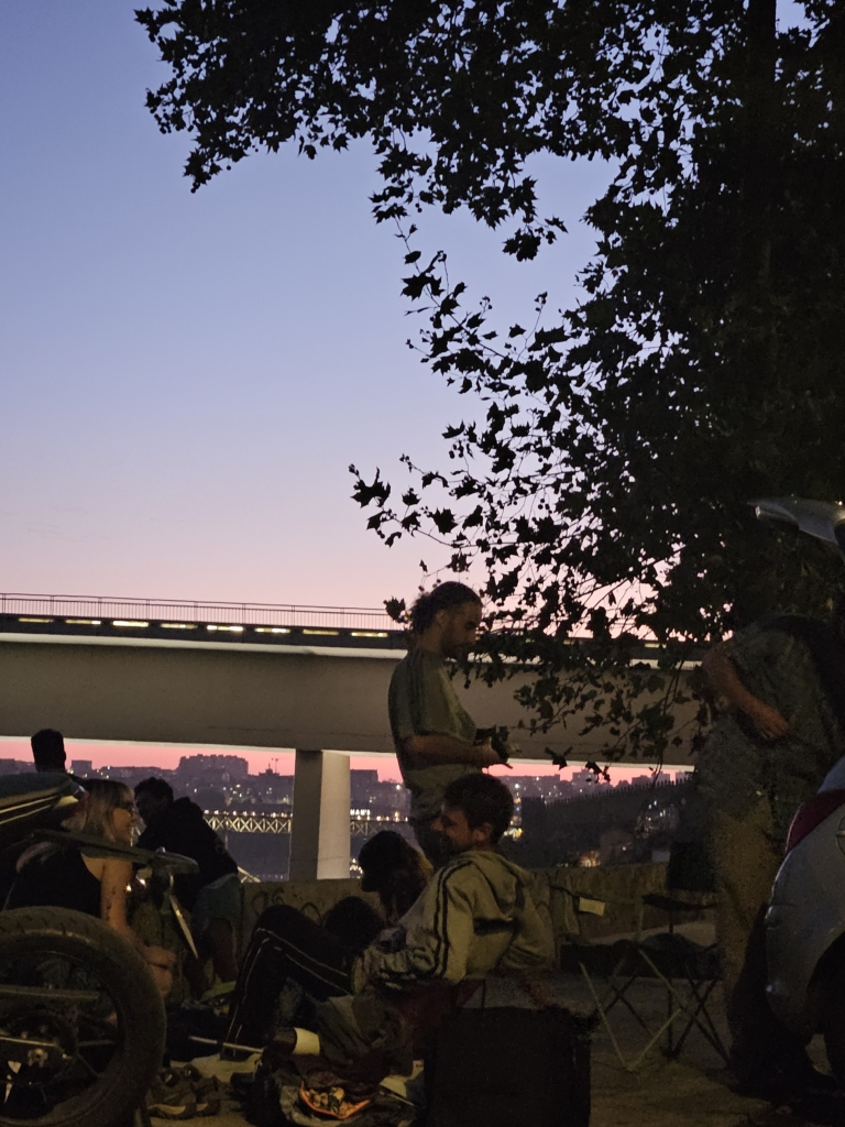
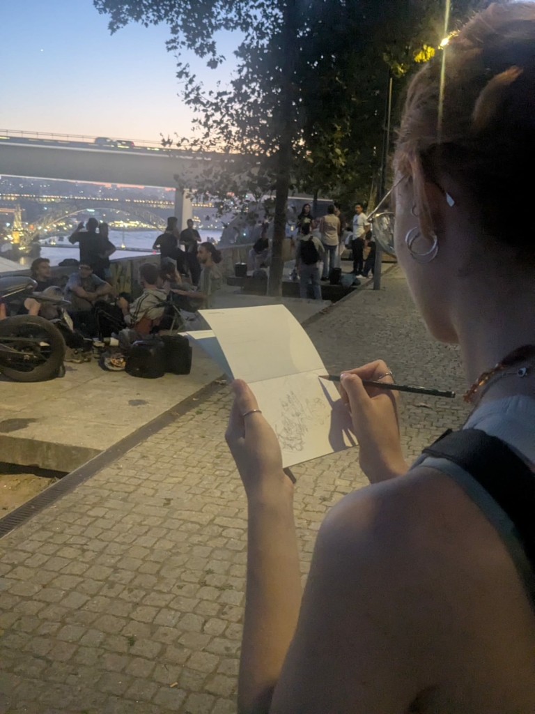
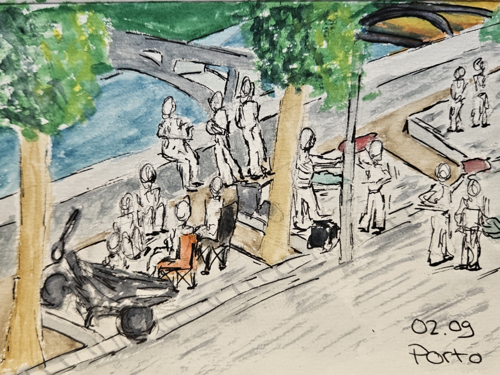
That evening, we went back to Fountainhas. At first, from a distance, we thought there wasn’t much going on, but then we were in for a big surprise! We decided to hold our ‘Sketch and Watch’ session there.
1. We’d already visited the viewing platform in Fontainhas the previous day at midday. It was fairly empty and unremarkable – a few benches, a basketball hoop, some graffiti, a few parked cars and some large concrete slabs. However, the view of the River Douro and the Ponte Dom Luís I was truly breathtaking. During our observation, the place isn’t exactly packed, but small groups occupying the individual concrete slabs of the viewing platform fill the place with life.
2. We can already hear loud Portuguese folk music a few streets away, which serves as a harbinger of the atmosphere to come. A group is practising various dances on a concrete slab: first, four young adults dance, spinning around each other and clapping their hands rhythmically. This impressive choreography is well-rehearsed, they are clearly enjoying themselves. I also notice their quite different outfits: one man is dressed very casually, while the other is dancing in a flannel shirt and suit trousers. One woman is wearing a blouse and jeans, while the second woman is in hot pants and a black T-shirt – her outfit is almost rock-chic and somewhat unusual for folk dancing. At the end of the dance, they receive frenetic applause from the other group members. In some cases, they also receive feedback on specific dance steps. After a short beer break, it’s already the next dance group’s turn, who are dancing with waving scarves.
3. The concrete slab is transformed into a dance studio: people dance, shout with joy and practise diligently. By the end, every member has had the chance to perform at least once. Experienced dancers offer guidance to those with less experience. Their energetic dance routines really do catch the eye of everyone on the viewing platform. After several dances, a woman and a man – they had been offering the most help – say their goodbyes; could they be the group leaders? Slowly but surely, the other dancers also leave the viewing platform. I strongly suspect this won’t be the last time the dance group meets here for a dance!
4. A group of young adults gather on the concrete slab right next to us. As the evening progresses, the group grows larger and larger – the men greet one another with a handshake, while the women are greeted with a kiss on the cheek. Early on, a man arrives with a woman. He is already known to the group; she has to be introduced to all the group members. While she behaves reservedly, he carries himself as if he considers himself the group leader.
5. The group decorates the concrete slab exactly as they wish: in one corner, a woman pointedly parks her motorbike; two women roll out their yoga mats; two men unfold their camping stools. There are also numerous containers of home-cooked food, biscuits from the supermarket and, of course, plenty of beer.
6. I’m quite surprised by the variety of activities I can observe within the group: some are simply chatting, eating and drinking. One woman also starts sketching her surroundings. A man is juggling a large spinning cloth – it flies through the air like a pizza – and later he manoeuvres clubs around his body. Another man reverses his old Opel Corsa right up to the concrete slab. He sits down on a folding chair, puts headphones on one ear, operates a mixing desk from the boot of his car and starts playing a DJ set through large, glowing speakers. I find myself dancing along to his electronic music.
7. They speak Portuguese to one another, but every now and then I also hear English in their conversations. What at first sounds to me like subconsciously integrated Anglicisms turns out to be conversation exercises. A short while later, a man and a woman join the group. They are warmly greeted by a woman, who invited them to the gathering. The ‘group leader’ also welcomes them with a confident ‘Hello, mate!’, which he had practised several times beforehand. The woman is the only one speaking English without any trouble with the invited Australian exchange students, but the other group members are also making an effort to include the guests in the conversation, despite the language barrier. The woman explains to her two Australian friends, that this is what parties in Porto are like – and I have to say she’s absolutely right: they’re now having a flat-share party on the concrete slab.
8. On another concrete slab, a large group has spread out several picnic blankets. Some people are lying barefoot on the blankets, while others are leaning against the edge of the viewing platform, gazing at the sunset. The group is very mixed – with young and middle-aged adults present, as well as a serious businessman and an alternative hippie with dreadlocks. Yet they all seem close, like friends or even family. They’re sharing home-cooked food, which is scattered across the blankets on small plates like tapas – I can see salads, meat skewers and cakes. They’re also drinking beer or wine from reusable plastic cups. It’s a feast.
9. A little girl is the secret star of the dinner. She sits in the middle of the picnic blankets, pulling faces at various people around her. She’s enjoying the attention, and those around her are enjoying giving it to her. As the evening goes on, her mum has to coax her into leaving the dinner. As she skips away from the viewing platform, holding her mum’s hand, she keeps calling out to the crowd and blowing them kisses – the adults keep blowing kisses back at her until she’s out of sight.
10. Visitors are also making use of the space outside the concrete slabs: two sisters are playing together on the solitary basketball hoop. The younger sister is clearly dominating. Towards the end of my observation, a man starts juggling clubs, which he later sets alight. His performance becomes a real eye-catcher, as his flaming clubs stand out particularly well against the darkness of the night.
It’s impossible to capture the energy of the evening, which leaves me feeling slightly disappointed. The gathering of people creates a unique atmosphere. The dreary concrete slabs are brought to life and transformed into a social space tailored to the needs of the groups – be it a flat-share party, a dance studio or a tapas bar. The presence of the river, the sunset and the city glowing in the distance creates a magical aura that undoubtedly draws people to this viewing platform like moths to a flame. It becomes a place for chatting, relaxing, eating, dancing and pursuing other hobbies – it’s frequented by locals, but is just as much a place for newcomers to Porto. It’s a place to meet friends or make new ones.
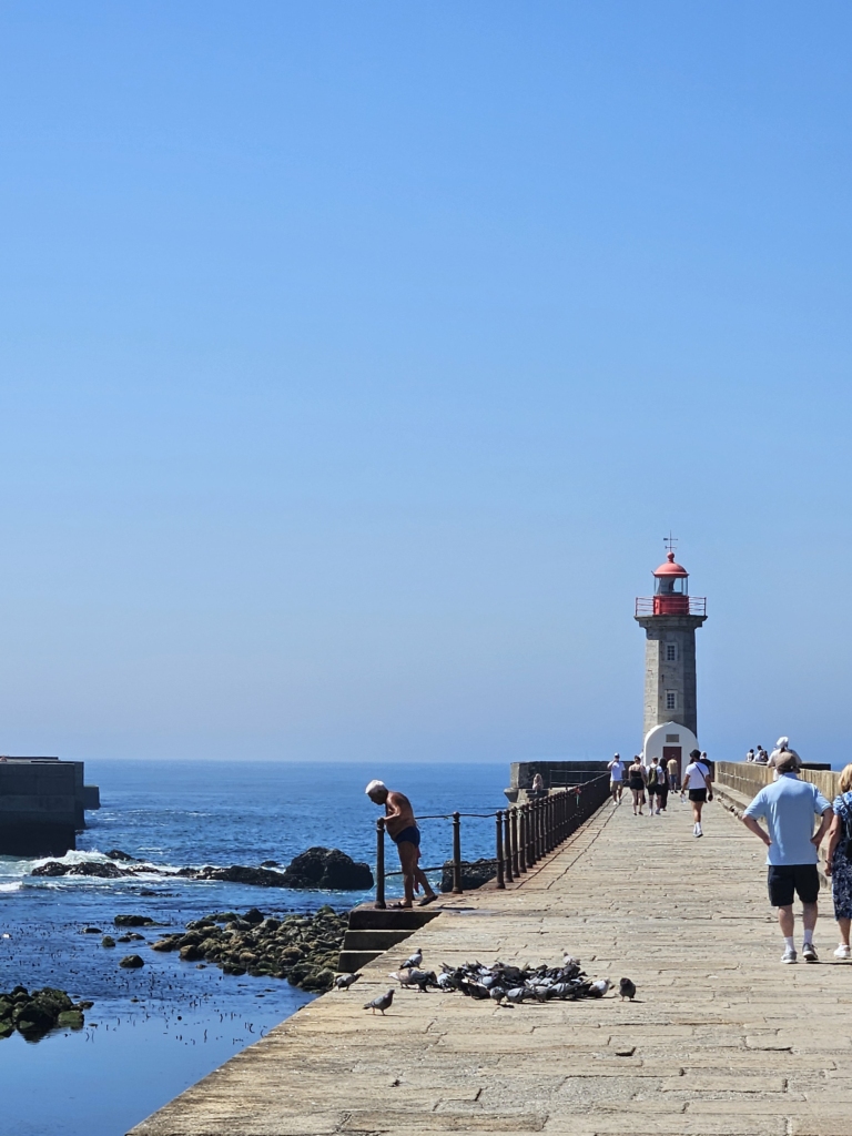
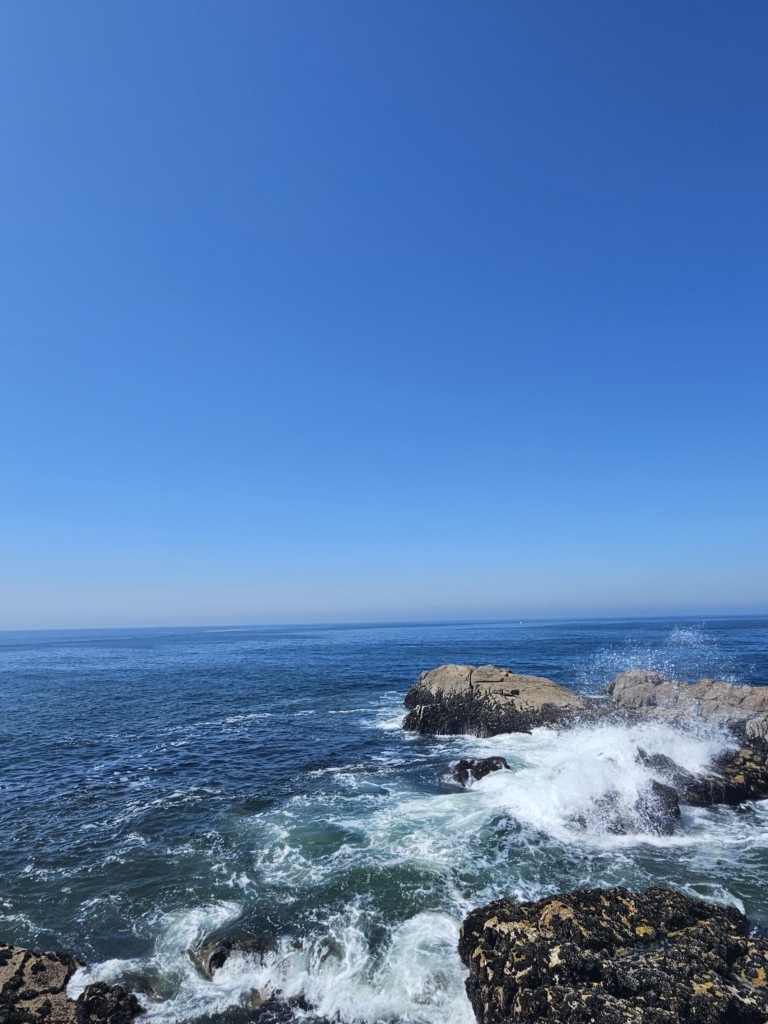
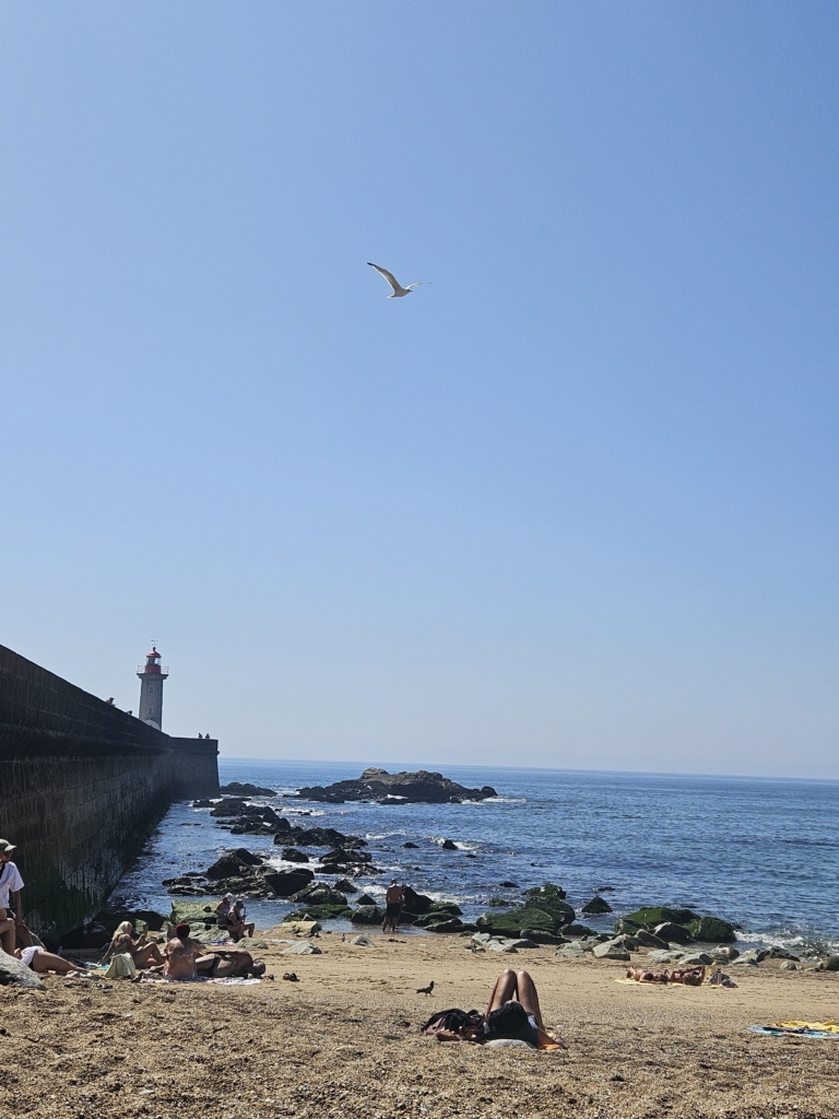
On our last day, we explored Foz. We took the bus to the ocean and saw a lighthouse there. The waves crashing against the rocks were so mesmerizing that we had to watch them for a while.
After that, we went to the beach right next to it. We even went for a swim—the water was very cold and the waves were strong. After playing a quick card game and sunbathing for a bit, we headed back.
Porto—and especially the people there—made us feel so welcome that we felt very at home here. The fact that everyone we interviewed emphasized the warmth of the city’s residents and saw it as such an important part of Porto led us to wonder: What if it’s not just the buildings, but also the people who make this place so special and are part of the World Heritage Site?
Our first day in Augsburg got off to a slightly late start, because our train was delayed. We headed to the World Heritage Centre and were greeted by Kristen, Gabi and Margit. They gave us an introductory tour and used their map installation to provide an overview of the many diverse heritage sites of Augsburg’s Water Management System.
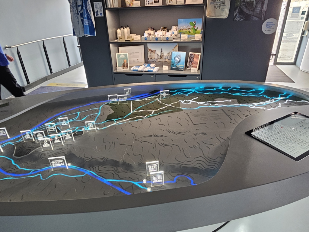
22 objects of the Water Management System were designated a UNESCO World Heritage Site in 2019 – including the Lech Canals, the Hochablass, the Rotes Tor, and the Augustus Fountain.
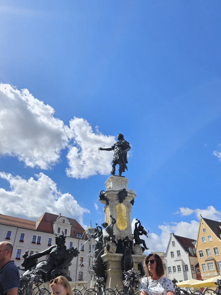
Margit took us straight on a guided tour of Augsburg, and right at the start, we happened upon another folk festival parade: the Plärrer. She showed us the magnificent 16th century Augustus Fountain on Rathausplatz, which features a total of four river gods. Three of the gods represent the rivers Lech, Wertach and Singold, while the fourth represents the Brunnenbach, a stream created to supply drinking water.
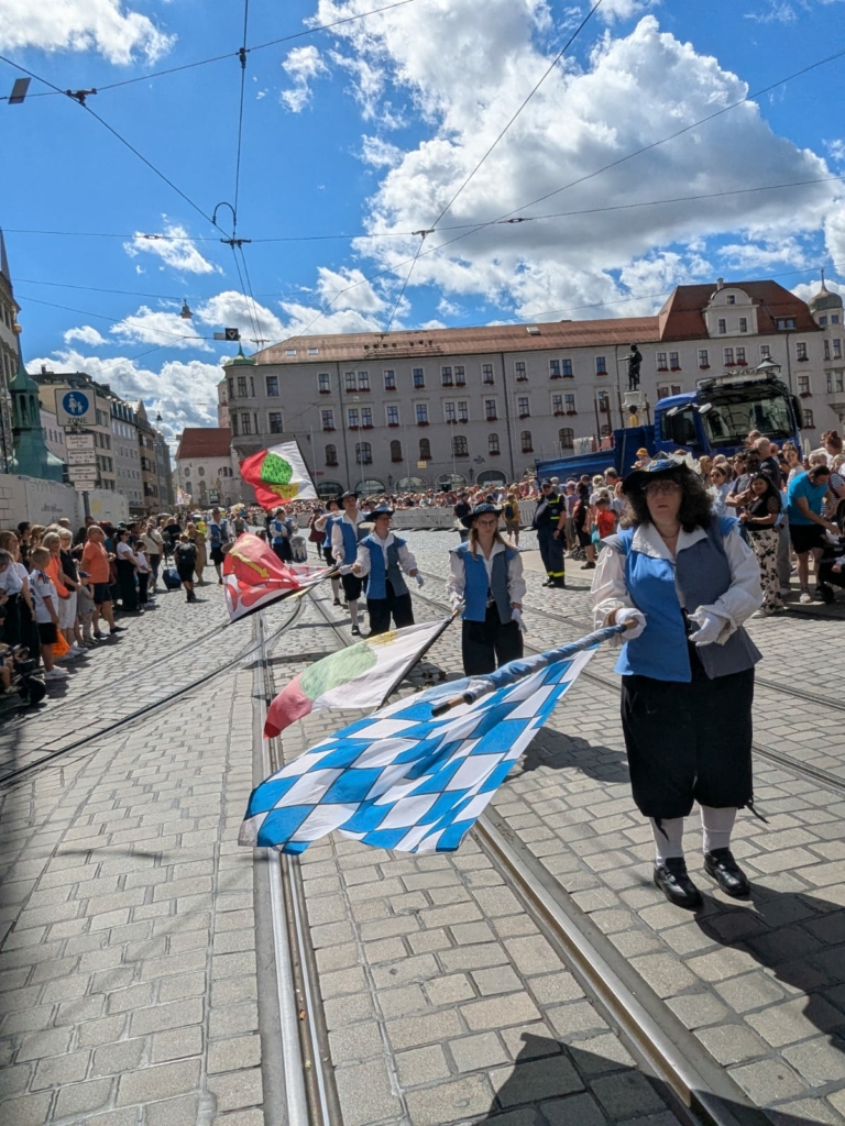
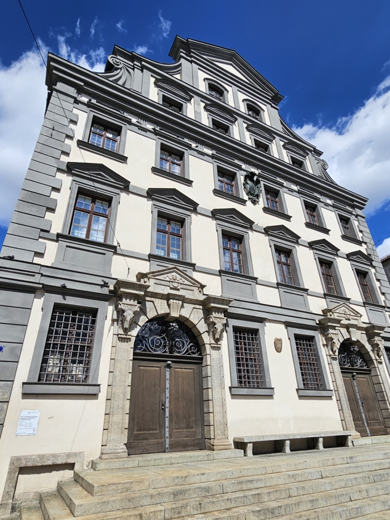
After making our way through the parade, we walked to the Stadtmetzg, an old municipal butcher’s shop with a canal running through its basement. The canal was used to cool the meat and dispose of waste. Margit continued showing us around, pointing out where the canal runs.
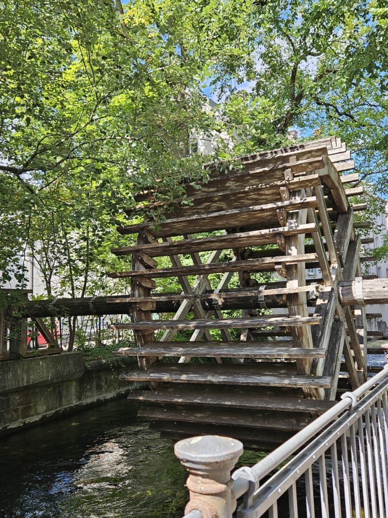
Later, we saw a wooden mill, though it was only a replica and never actually operated. Continuing on our way, we saw a hydroelectric power plant that’s still in operation today and a tannery where leather was hanging to dry. When we arrived at the beautiful Holbeinplatz, Margit told us that it’s a place where people like to linger, which is why flowers were later added there.
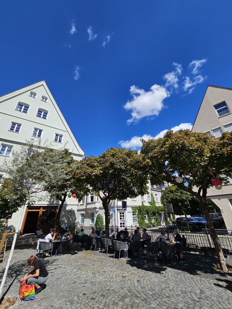
On our way, we came to a former bathing spot on a canal located right next to the Ursula Convent. According to local stories, bathing during the day was forbidden there so that the nuns wouldn’t see anyone naked.
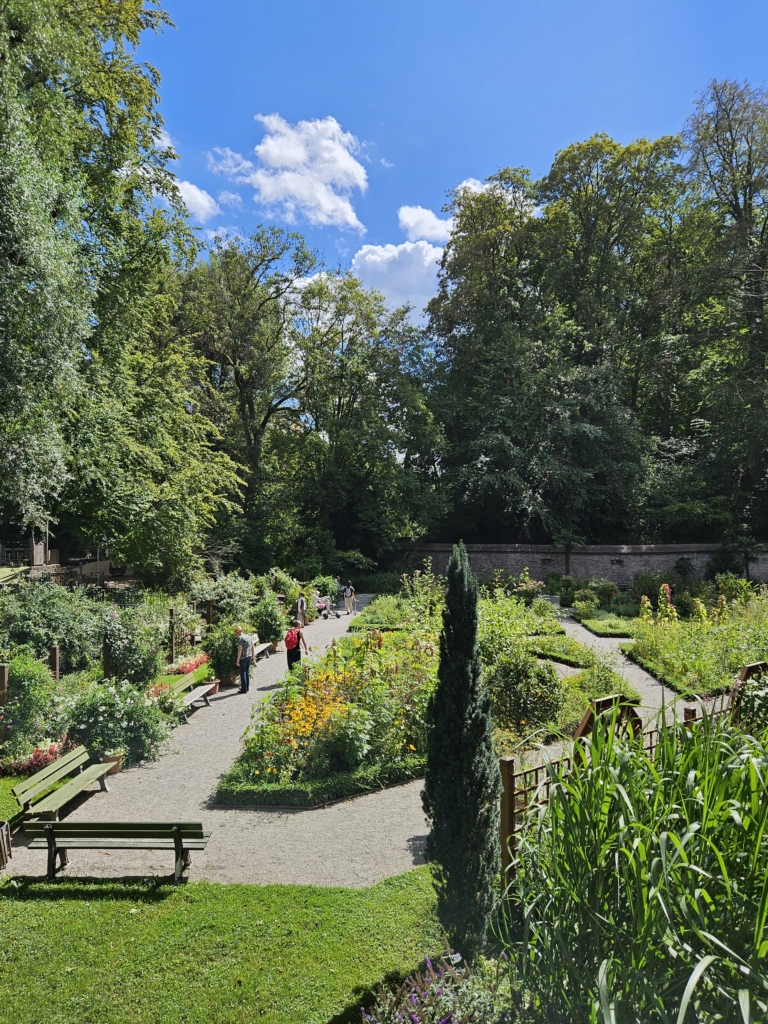
When we arrived at the Rotes Tor, we saw a former moat which now serves as a public herb garden, where visitors are welcomed to help themselves.
Kristen was waiting for us there and led us into the water tower. The former apartments of the well masters were located here, including those of Casper Walter, a leading engineer who played a very important role.
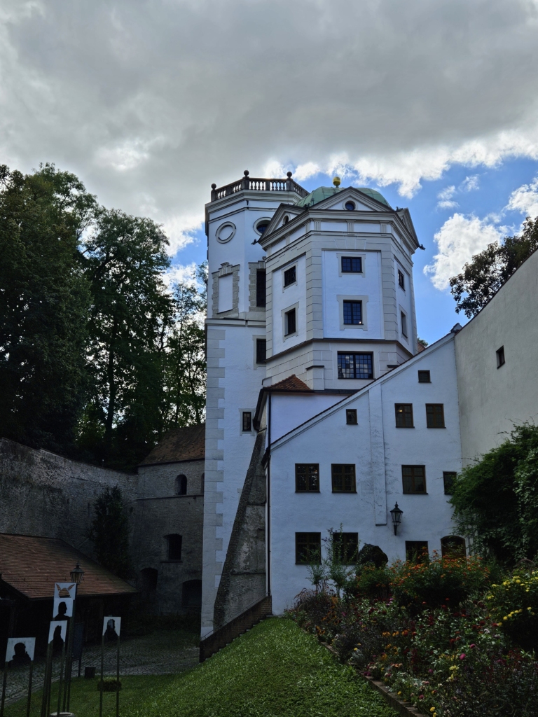
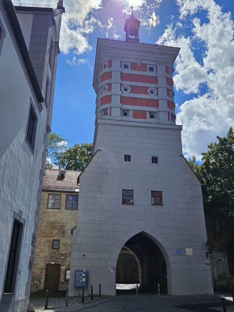
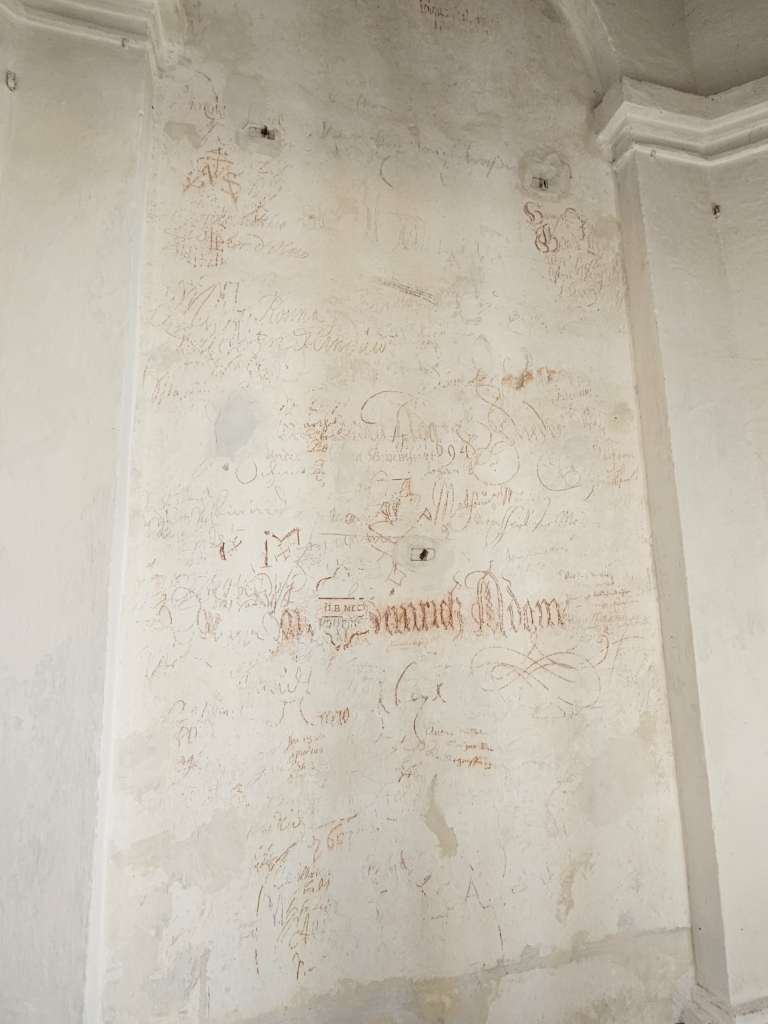
During the tour, we saw historical graffiti on the walls, some of which dated back to the 17 th century, as well as old wooden pipelines used to transport water.
Even the necessary tools were made right here. Casper Walter was the driving force behind the project, inventing a new engine that was significantly quieter — legend has it that this enabled his wife to sleep better. Another particularly exciting development was the early separation of water into utility and drinking water in Augsburg, achieved by means of a wooden partition.
Next, we took the tram to the ice canal and met Gabi at the Hochablass.
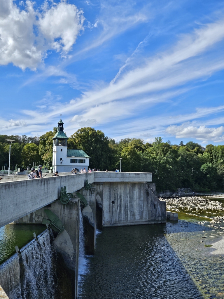
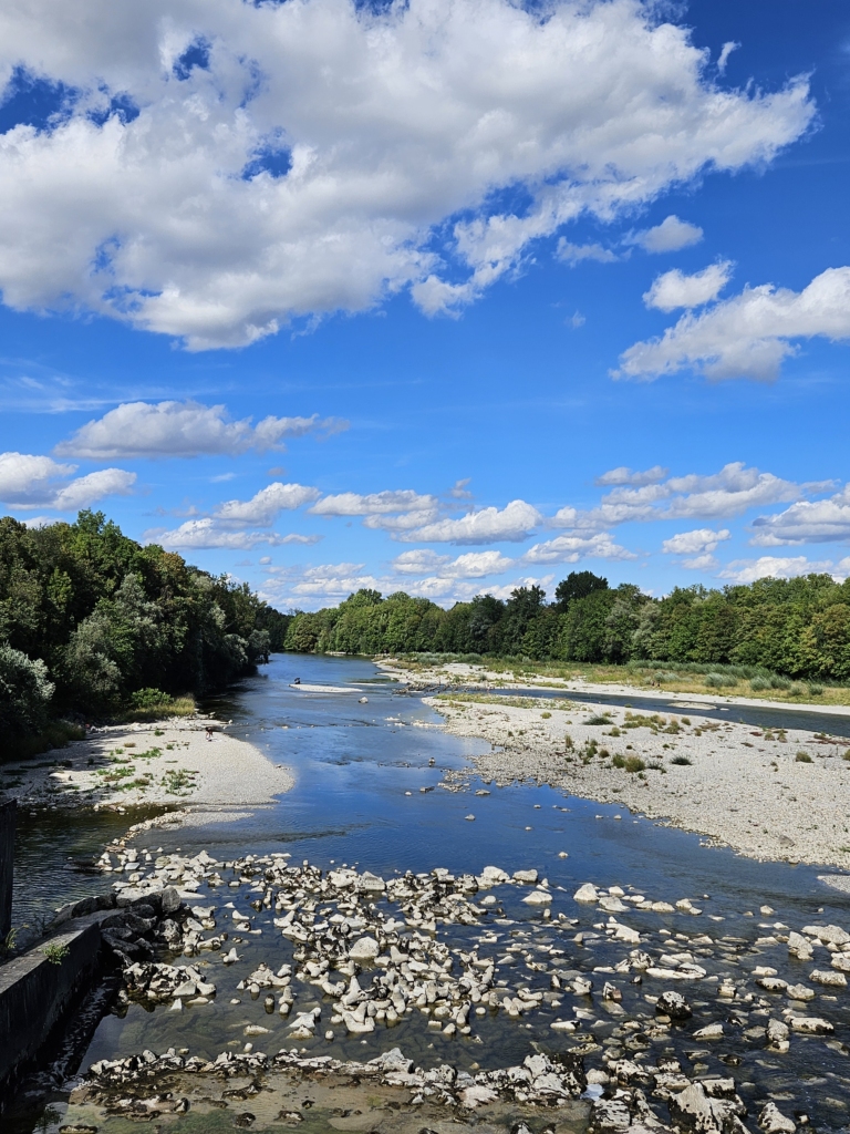
She gave us a tour of the area and told us more about the plans to restore the river: the Lech is to be widened from 70 metres to 130 metres and a fish ladder is to be built. We then made our way to the historic Hochablass waterworks and drank some delicious water from a fountain there. We were really surprised at how good it was!
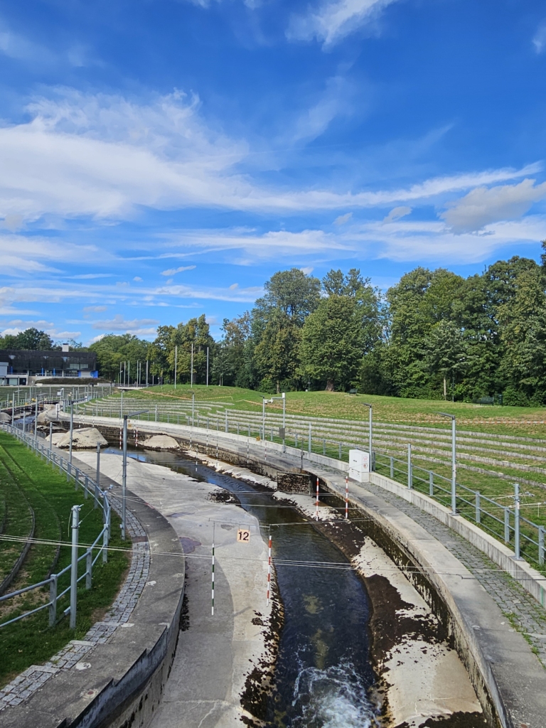
Next, we passed the Olympic canoe course, where water is drawn from and later returned to the Lech River. The course was artificially constructed for the 1972 Olympic Games. At the same time, the GDR built a virtually identical replica of the course, so that during the Olympic Games themselves, the GDR athletes were able to win all the medals. There wasn’t much water in the course that day as filling it with water isn’t the highest priority.
Thank you so much for the great day and all the informative tours!
Our second day in Augsburg got off to a fairly slow start. The city was quiet, but there were lots of football fans around. As we strolled through the Old Town en route to the Town Hall, we chatted with a few locals.
First, we met Laura on our way to the town hall. She particularly likes the old town and the nature within the city. Laura especially appreciates the water in the city centre and the parks. In the summer, she loves spending her free time by the Proviantbach, swimming in the canal.
Next, we met Raphael at the Rathausplatz. He moved here for work and really appreciates the abundance of nature in Augsburg, as well as the many canals and bodies of water. He believes that nature and water help people to feel calm and less stressed. His favourite spot is a place near the town hall, where two canals flow through.
As we continued walking through the streets of the Old Town, we bumped into Lena and Finn. Finn grew up nearby, so he knows his way around well. Lena moved to Augsburg about a year ago to study. What Finn especially likes about Augsburg is the beautiful Old Town, and the fact that you can always find people to go out drinking with! Lena also likes the beautiful Old Town and the Textile District. They both emphasise that they appreciate the canals and enjoy swimming in the Proviantbach in the summer. They told us about a swimming spot near a football pitch where they like to swim.
We went back to Holbeinplatz, where the cafés were already quite crowded. We refilled our water bottles at a fountain here and thought about where to go next. We wanted to check out the spot by the Proviantbach that Lena and Finn had recommended, so we set off. First, we took the tram to Jakobertor and explored the Textilviertel a little. Here, too, the canals wind their way through the residential neighbourhoods. When we arrived at the Proviantbach, we passed a football pitch belonging to a Turkish football club. They were playing against a Romanian team, there was a large crowd, and there was plenty of food.
When we first arrived at the Proviantbach, there weren’t many people there yet. We saw a retired couple swimming in the canal. As we continued to explore the area, we found an old train track overgrown with trees and bushes.
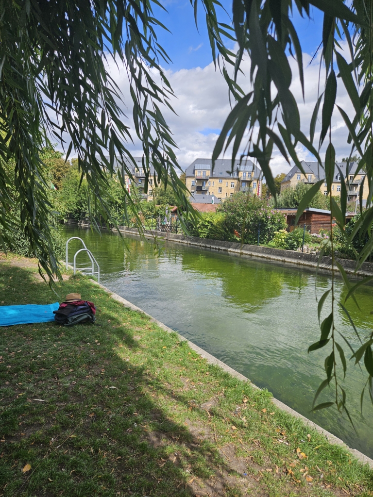
After dipping our feet in the cold canal water, we spontaneously decided to hold our ‘sketch and watch’ session there, as more and more people were arriving.
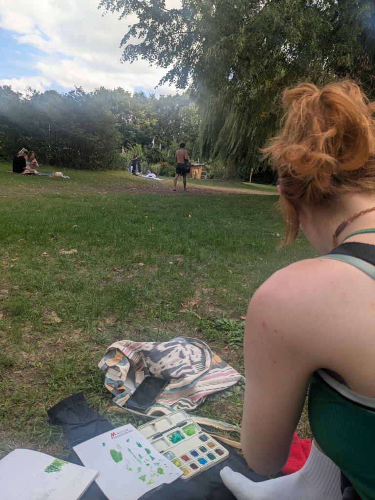
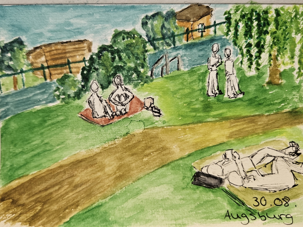
1. We spontaneously decide to start our observations at the Proviantbach. Although there are hardly any people there at first, the calming effect of the surroundings had initially put us off doing so. As our observations progress, however, a great many more people arrived to spend the rest of their afternoon by the river.
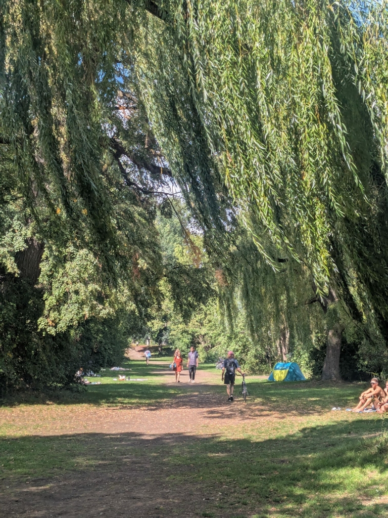
2. The area by the Proviantbach is divided into four sections: at the centre is the river itself, which people frequent for swimming. On one bank, there is a green space surrounded by tall weeping willows – this is where the bathers are lying. Immediately behind that is the football pitch of an amateur club, where a match is taking place at the same time. On the other bank is a large allotment garden, where I can see Italian and Bulgarian flags flying.
3. It must be emphasised that the trees and the river create an atmosphere of extreme tranquillity – that not even the boisterous shouts from the football pitch can disturb. It is precisely the rustling of the weeping willows that brings about an indescribable sense of calm. This is complemented by the chirping of the birds, that also find refuge in the birdhouses of the allotments. Even though I could barely see the river, I could always hear it – whether bathers were drifting along, walking down to the river’s edge, or splashing about with a loud cannonball.
4. Right in front of us, a father and his two daughters are pitching a tent right by the river’s edge – it’s like having a house with a swimming pool. They’re well-equipped and will probably stay the night. When the man first steps into the water, he lets out a cry of pain. The daughters are young enough to laugh at it, but old enough to realise he’s just putting on an act. They also get into the Proviantbach and float along together.
5. Later, they set up a hammock together. At first, the girls find it a bit challenging to climb into the tightly stretched hammock. Once inside, they quickly get bored. One of the girls climbs out and starts swinging her sister around wildly. They’re both clearly having fun – but I don’t envy the little trees to which the hammock is attached.
6. To our left, two female students are reading, lying on their stomachs on two bath towels. A friend joins them just as one of the students starts to eat something. After a brief greeting, a joking argument breaks out: ‘Who on earth brings just half an apple?’ The student takes a bite of her apple and replies cheekily: “Me!” She explains that the apple was a leftover from a fruit salad, and that she took it with her so that it wouldn’t have to stay in the fridge all on its own.
7. Shortly afterwards, several students arrive one after the other on their bikes. One of them apologises for being late. She had to go and get some lunch – she holds up her matcha as she speaks. Parallel conversations develop, which I find hard to follow. They’re about veganism, films, football and parents. Later, all the friends get changed and float down the Proviantbach.
8. Further away, at a river access point, a group of men are spreading out their belongings: bath towels, rucksacks and an inflatable unicorn. A little beagle is running frantically towards them. They all get changed, almost in unison, using a bath towel wrapped around their waists as a privacy screen. Only one man doesn’t get changed. Whilst the others enter the stream, he watches them longingly, with his dog on his lap. It’s only later that I see him running energetically along the riverbank with his dog – who is now wearing a life jacket – and swimming together in the river.
9. Later, two more women join the group. I suspect they’ve brought the life jacket for the dog. They’re also the ones who introduce the inflatable unicorn. They drag it all the way along the promenade, past all the visitors, and float down the entire length of the river several times.
10. To our right, two women lie on a large picnic blanket. Gazing shoulder to shoulder at the treetops of a weeping willow, they scroll through social media on a shared mobile phone. They are the only visitors – apart from us – not wearing swimwear.
11. Right in front of us, two female students are sitting on towels. Their hair is wet and they’re wearing loose-fitting tops over their bikinis. They are having an intense conversation which seems to take several twists and turns – I can only pick up a few keywords: they’re talking about their studies and moving plans; perhaps they’re facing difficult decisions about their future.
12. A young man wearing large headphones walks purposefully past us, spreads out his towel, changes his clothes, and enters the Proviantbach. I lose sight of him for a moment, but a few minutes later, he emerges from the same spot where he entered the river. He doesn’t waste any time: he dries himself off, gets changed and walks past us again. Is it his daily ritual to take a quick dip in the Proviantbach? Or was the river water simply far too cold for him?
13. A middle-aged couple step into the Proviantbach via an access point located right next to their allotment garden. After swimming for a short while, they climb out using a ladder and make sure to lock the small garden gate behind them – rather handy.
14. An elderly couple who have been swimming in the Proviantbach, are now standing in front of a river access point. The woman is already changing, while the man stands with both hands on his hips, staring stoically in the direction of the football match without saying a word. A long time after the woman has finished changing, the man snaps out of his trance and changes as well. His wife had given him time to watch a bit more of the match. Afterwards, they walk off together.
15. At the same time as our observations, an amateur football match is taking place. I don’t have a direct view, but the background gives me a clear idea of what’s happening. The home team, ‘Türkspor Augsburg’, have the loudest supporters – when they score a goal, you can hear it loud and clear. They’re playing against a Romanian team with a modest fanbase. It’s amusing that, apart from a few phrases – such as ‘ref, ball in play and foul’ – the match is conducted entirely in Turkish or Romanian. From the Romanian team, I can make out motivational shouts, tactical instructions and insults directed at the referee. In the end, Türkspor wins.
Several spaces emerge alongside the Proviantbach: here people swim, there they chat, here they play football, and over there they relax in the allotment. Although everyone can create their own little haven in this way – whether to relax or socialise with friends – interactions constantly arise between these spaces.
After spending two days in Augsburg, we got the impression that young locals especially enjoyed the city’s natural surroundings and waterways. These both bring a sense of calm to their daily lives and provide opportunities to socialise. They also really appreciate the beautiful old town.
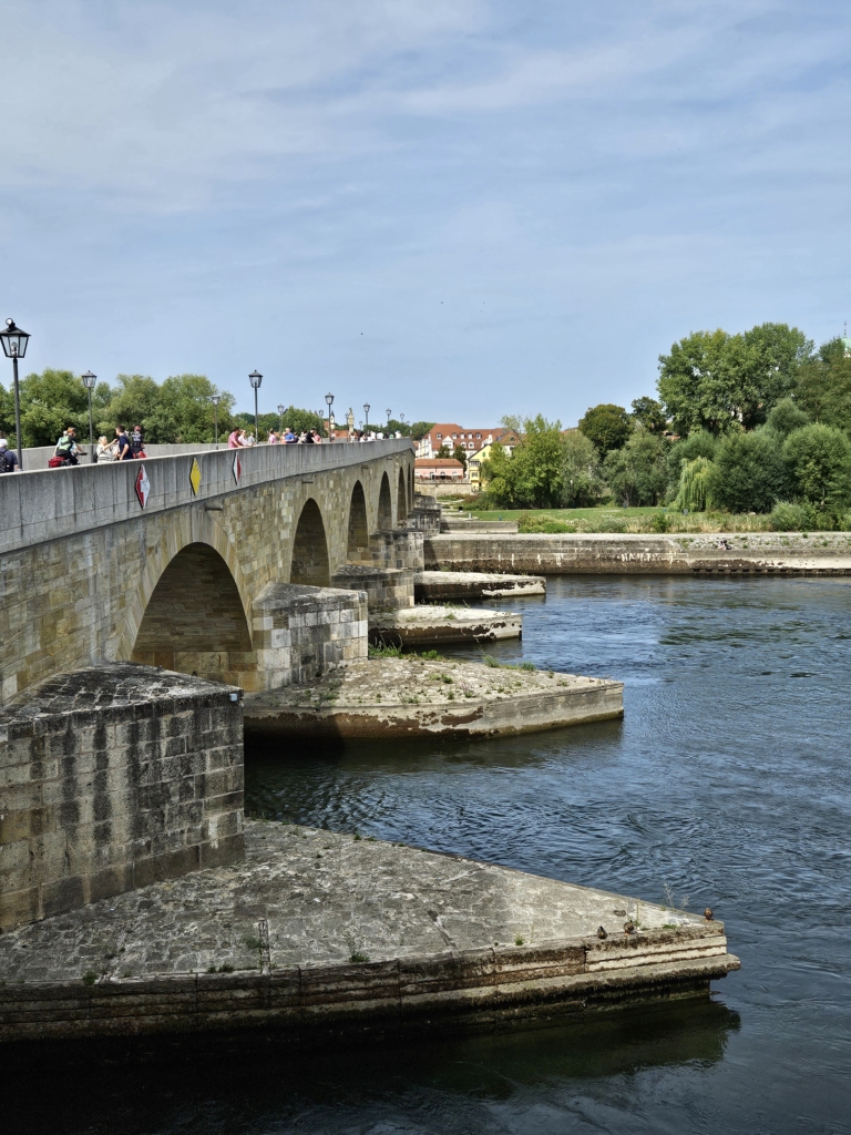
We started the next day in our hometown of Regensburg with a walk across the Stone Bridge.
Regensburg’s Old Town, including Stadtamhof, is a UNESCO World Heritage Site. It was once a medieval trading city and political centre.
As usual, there was a street musician on the bridge, either early in the morning or late in the evening, and today it was a harpist. We also saw many tourists from cruise ships.
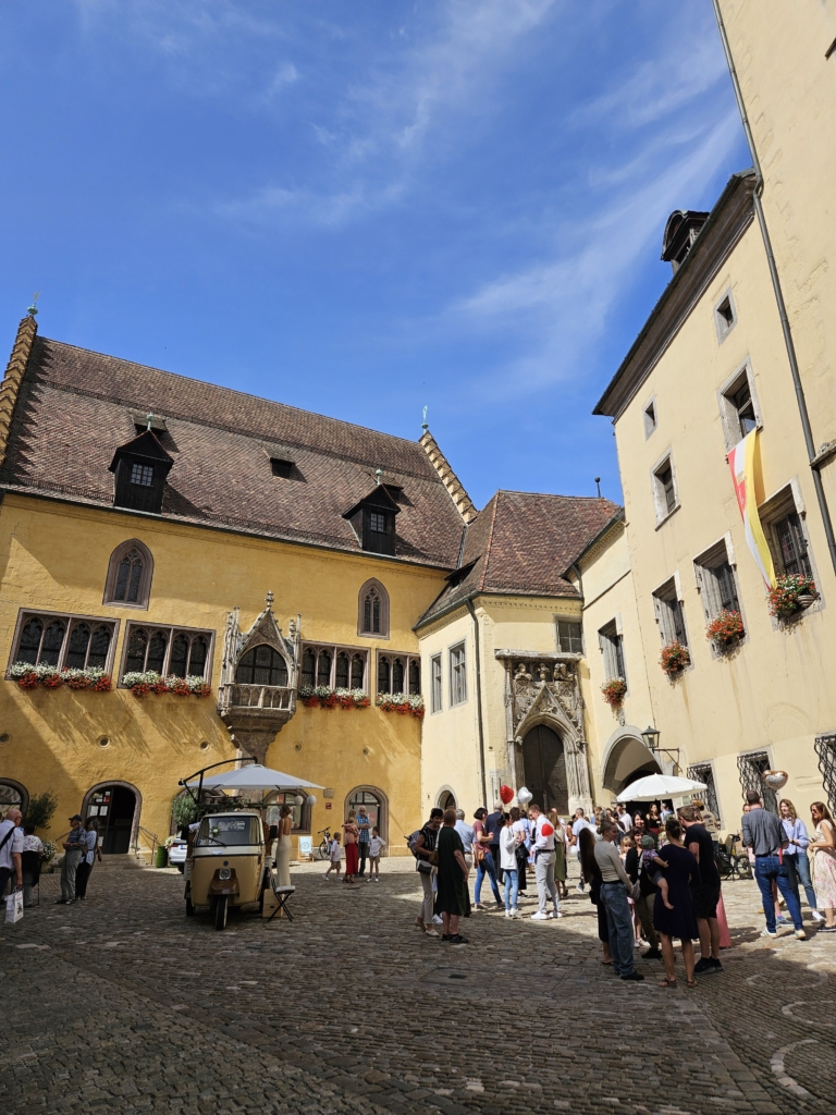
After that, we walked all over the city, stopping by some of our favourite places along the way. We spoke to lots of people passing by at the Old Town Hall, Neupfarrplatz and Bismarckplatz to find out about their favourite places and what they thought about living in Regensburg. Initially, this proved more difficult than expected, as a significant proportion of the young people we approached were not actually residents of Regensburg, but were visiting the city.
We then went to Obermünsterplatz, one of our favourite places in Regensburg, where we saw lots of people either picking up lunch or sitting on the benches.
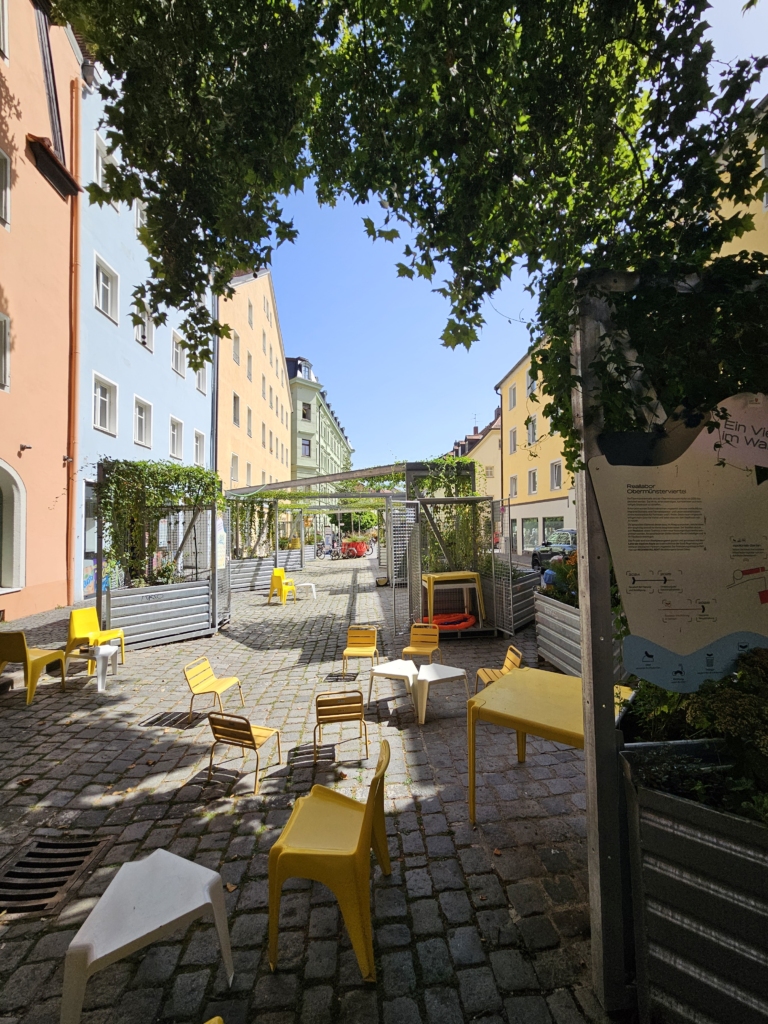
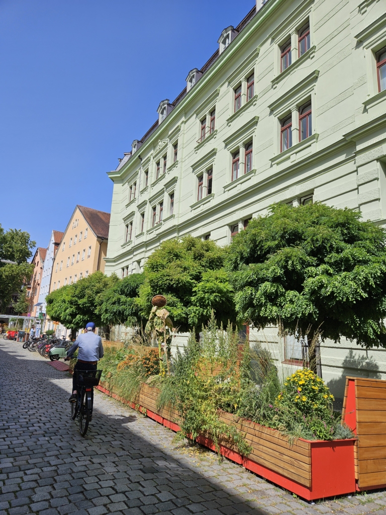
We met Manu and his girlfriend, who are both students, while they were on their lunch break and chatted with them. They told us that they especially like how youthful and vibrant the city is, thanks to the many students. They also appreciate how everything is within easy reach, and how friendly and open-minded the people are. Both of them also value the rich cultural offerings and the abundance of nature. They specifically mentioned the banks of the Danube near the Stone Bridge and the Old Town as their favourite spots.
Continuing on our way, we met Linh and Simon at a Café in Apollonia’s Garden. They have both lived in Regensburg their entire lives. For Linh, the Danube is an important part of the city, and the fact that everything is close together. Simon also appreciates the many young people and the short distances in the Old Town. For him, Haidplatz is a great meeting spot and a place to linger, as are the Danube’s banks. Linh especially enjoys spending her free time there, too, where she can let her legs dangle and relax.
After that, we continued walking down Obere Bachgasse towards the city centre, where we talked to Theresa. She moved to Regensburg to study and deliberately chose this city. She likes that it’s a small city and enjoys spending time in the Old Town, by the Danube and drinking an Aperol in Stadtamhof in particular.
We met Helene later at the Grieser Spitz. She also moved to Regensburg for her studies and likes that it’s a young, student-friendly city where you can always meet people. She also enjoys visiting the Stone Bridge, the Danube and the Grieser Spitz in her free time.
Our walk then took us to Stadtamhof via the Stone Bridge once again, where the harpist was still performing. From there, we could see people swinging on the Grieser Steg over the Danube, so we made our way over there. At the Grieser Spitz, there were lots of people swimming or relaxing in hammocks or on towels. It is this, along with the peace and quiet, that makes this one of our favourite places. After resting on a bench for a while, we made our way to the visitor centre.
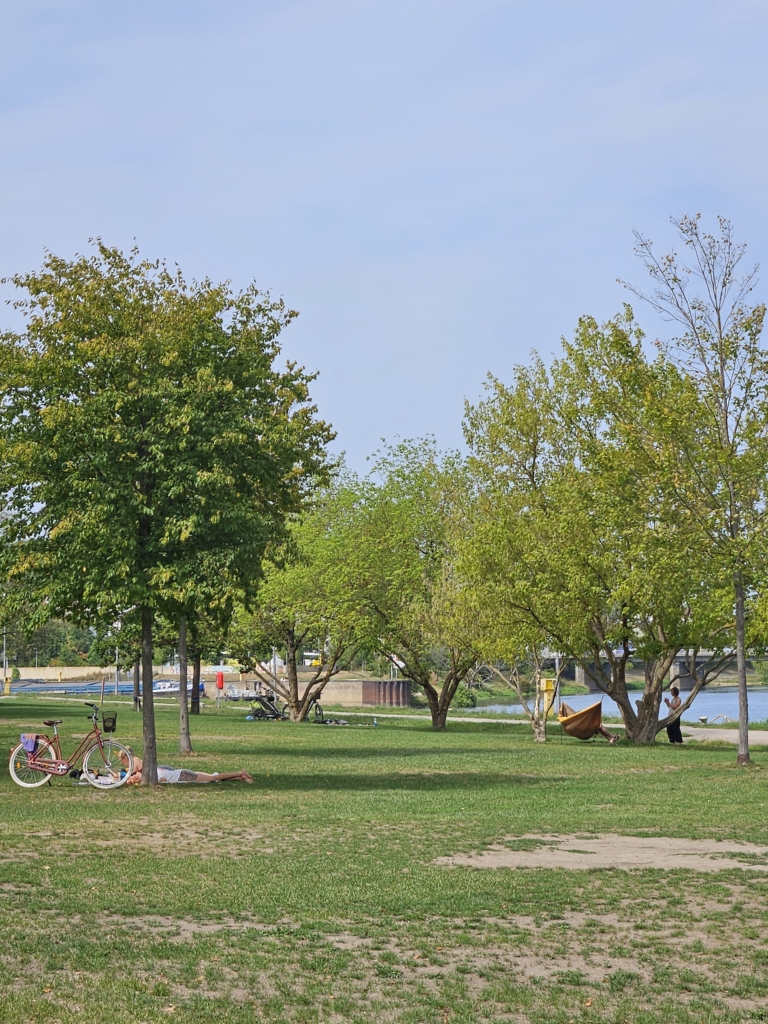
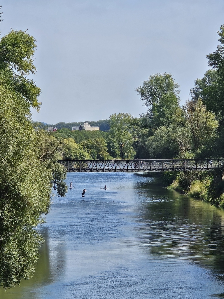
When we arrived, we were warmly welcomed by Bernhard, Moni and Janina! After sharing our impressions of Bamberg and Regensburg so far, they treated us to ice cream. Standing on the stone bridge, we chatted about their favourite places in Regensburg. Moni likes to unwind in Stadtamhof in the evening, while Janina spoke about Bismarckplatz, which comes alive in the evening, especially with students.
Once again, we ended our day by the Danube. As most locals had recommended the riverbank as their favourite spot, we decided to hold our ‘sketch and watch’ session there, right next to the Stone Bridge — a place we love too and visit often.
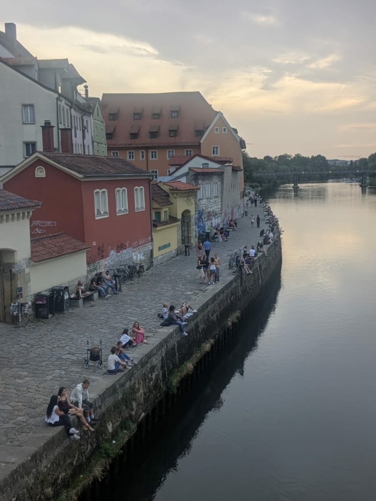
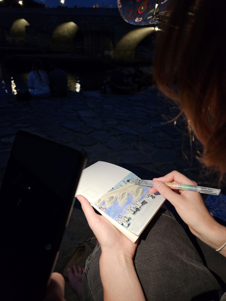
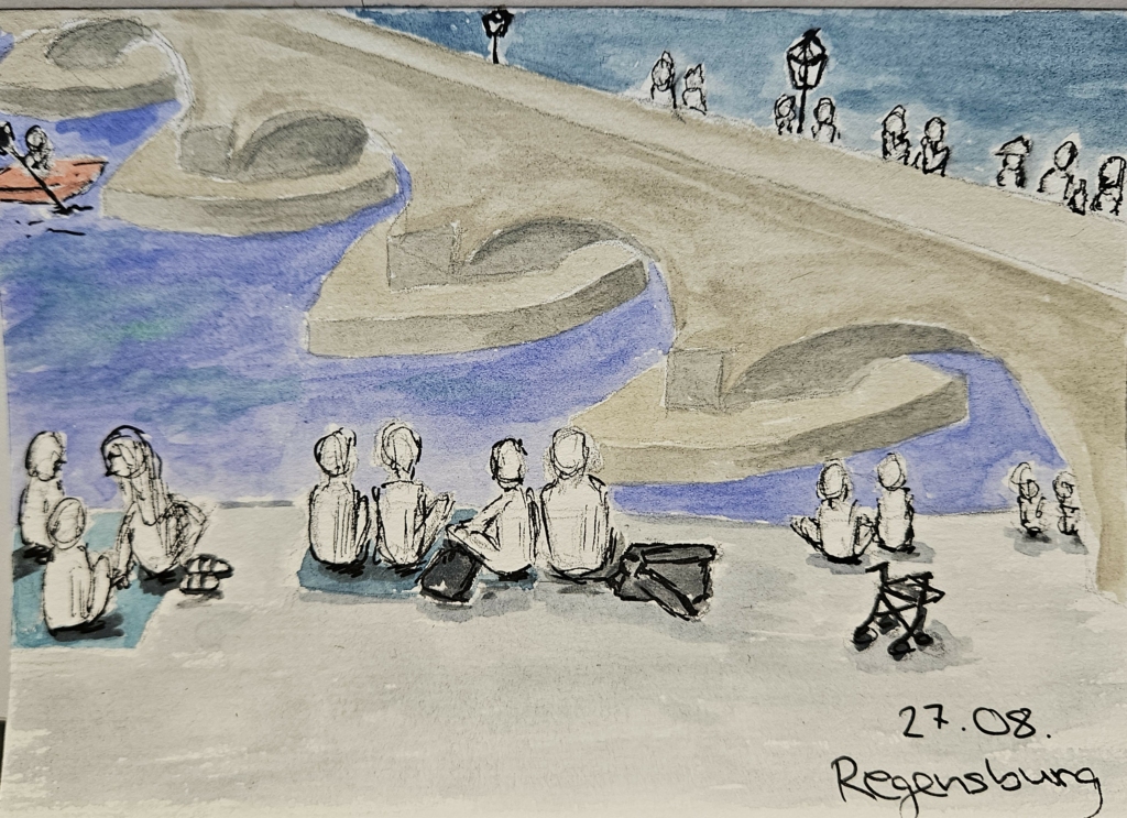
1. We’re sitting on a bench on the Danube Promenade, right by the Stone Bridge. We often find ourselves drawn here for an evening snack or to enjoy the lovely sunset. Although we are familiar with this situation, today it feels quite special to consciously take in our favourite spot in Regensburg.
2. Many people pass us by – walkers, joggers and bottle collectors. But it’s mainly the small groups of people sitting at the water’s edge, letting the evening draw to a close – they fill the banks of the Danube as far as the eye can see. It’s amazing how, somehow, everyone manages to snag a spot on the packed promenade. At times it looks like a choreographed routine: no sooner has one group left than the next sits down. And if there’s no space left, you squeeze in between two groups. This close proximity to people who are essentially strangers doesn’t seem to bother anyone – they simply linger together.
3. Lively conversations, the rustling of food and mobile phone videos dominate the background noise. Yet if you listen more closely, a subtle, relaxed soundscape emerges: the flow of the Danube, the plucking of a street musician’s cello on the Stone Bridge, or the occasional chirping of birds from the nearby ‘Jahninsel’.
4. Right at the start, two female students walk down to the banks of the Danube. They are carrying two plastic bags and scanning the promenade. Other female students wave them over – they have already spread out on a large picnic blanket on the riverbank and taken off their shoes. They greet each other warmly; it’s clearly one of the students’ birthdays – she receives their congratulations. The birthday feast is laid out: a pizza box is already waiting, the new arrivals have brought Asian takeaway food, and the birthday girl presents the group more snacks and drinks. They share the food, take photos of each other in front of the spread and the panoramic view of the Danube, and chat animatedly about one student’s crush, whom she simply describes as a ‘topless guy’. A birthday party on the Danube!
5. I’m watching a young man who’s the only one sitting alone on the riverbank, he’s suddenly startled by a friend who has just arrived – I’m a little startled myself. They greet each other in Spanish, and a little later another couple of friends join them. Canned beer, grapes and some homemade couscous in a thermal container are now laid out on a large beach towel. Once they have finished eating, their lively conversations gradually die down. Both men lie down, using their girlfriends’ thighs as pillows – I think one of them even falls asleep, while the others continue to chat sporadically or scroll through social media.
6. Right between these two groups, four female students are sitting cross-legged on a picnic blanket. Their shoes are neatly placed at the edge of the blanket and their pizza box is already empty. They are having a nostalgic conversation; it has a melancholic tone: they are talking about a mutual friend who is now travelling to Vietnam with her boyfriend and will then be moving to Portugal. The students emphasise: “Portugal isn’t exactly the end of the world, after all.” Yet it is clear to see that they are sad that their friend is moving abroad. They then laugh as they recall how, at the age of 18, they naively moved to Regensburg to study. Now, uncertainties about the future dominate their thoughts. Has the group of friends grown close during their studies? Are they sad to be leaving Regensburg and seeing their paths diverge? Before leaving the banks of the Danube, they throw away their rubbish and even pick up small bits of food from the cobblestones – they want to leave their favourite spot clean for those who will come after them.
7. In fact, it isn’t long before two female students take their seats. They have no blanket, one of them is having trouble sitting down on the promenade in her short skirt and the other has forgotten to bring a spoon. So, laughing, they share a spoon whilst eating from their identical bowls, which they’ve picked up from a nearby restaurant. It was clearly a spur-of-the-moment idea to have their dinner together on the banks of the Danube.
8. A young woman struggles to reach the banks of the Danube with her walking frame, but her friend helps her. They sit down together and one of the women takes two kebab boxes out of her rucksack. Before they start eating, they tuck a handkerchief into their collars – fine dining. They are by far the quietest; they chat to one another but also take the time to gaze at the seemingly endless Stone Bridge.
9. There’s plenty going on at our bench, too: to begin with, we share it with two men who sit there together and, every now and then, show each other Arabic music videos at full volume. Their spot is then taken by an elderly man – he significantly raises the average age on the banks of the Danube. After resting for a moment and examining Mia’s drawing, he moves on. We also share the bench with wasps that are constantly buzzing around a nearby bin. The other visitors have to protect their food from the insects – some wave their arms about frantically, others dodge them skilfully.
10. Sometimes, visitors’ gazes turn briefly towards the Danube: a group of canoeists appears beneath the Stone Bridge. In their colourful canoes and garish helmets, they chug along at varying speeds against the current, chatting amongst themselves. At one point, I also notice a man in a speedboat briefly slowing down to speak to two women on the Danube banks – yet his boat carries him slowly but surely onwards.
Conviviality, exuberance and tranquillity: people sit shoulder to shoulder, regardless of occasion, cultural background or food. Mostly young (female) student have come with their blankets and food to linger – it all feels familiar, like an evening ritual. You can tell that they are finding a soothing end to their day on the banks of the Danube – the flowing river and the tranquillity of the bridge help you unwind. Yet lively conversations take place, too: people laugh, they eat, and no personal topic is off limits – whether the neighbour hears it or the whole city, and nobody minds. The Danube promenade becomes a shared living room and Regensburg’s biggest picnic.
Regensburg lives up to its name! It rained a lot on our second day. We made the most of the sunny breaks, though, and first went to another one of our favourite spots along the Danube. There is a beautiful view of the city, so we sat down and took a little break to read. Later, we walked down to the riverbank, where we saw a man and his dog who wanted to play in the water. Every now and then, a few boats passed by and there were also a few ducks swimming around.
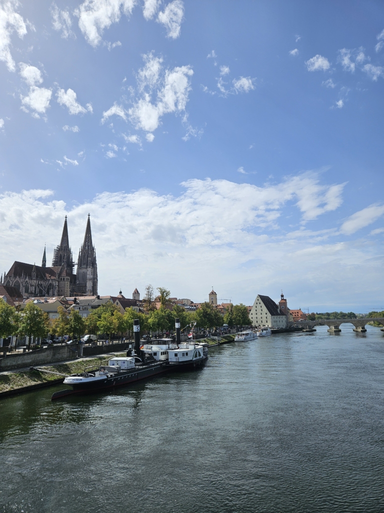
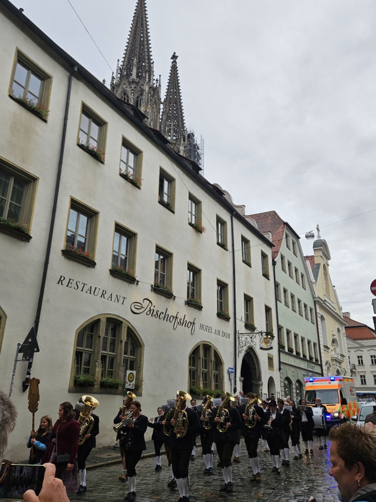
After that, we went to the Dult Parade at the cathedral and walked with the crowd for a while until we reached the Stone Bridge. The Dult is a folk festival held in Regensburg, which started on that very day.
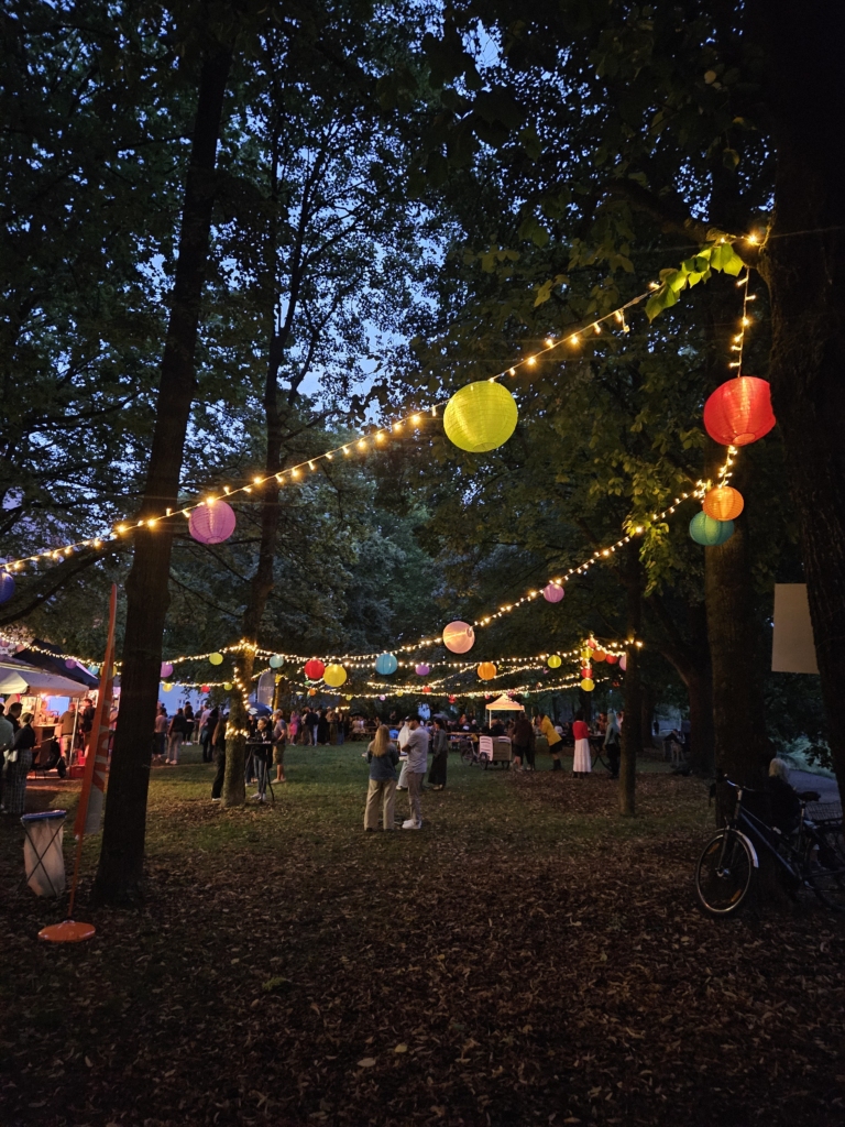
In the evening, we went to the ‘Ciao’ festival in Stadtamhof. Held in a meadow next to the Danube, the area was heavily decorated with lanterns and string lights. There were quite a few people sitting at tables or standing at bar tables, enjoying a drink and a chat. After a while, it started raining lightly again.
Based on our conversations with locals and our own impressions, we can say that Regensburg is a very livable city for young people. Thanks to the compact layout of the Old Town, its young and open-minded inhabitants, and above all the Danube, it offers plenty of places to meet up and relax!
Once we arrived in Bamberg, we first explored one of its three unique historic districts: The Gärtnerstadt. As we passed a garden, a woman waved us inside. We were invited to take a tour of the entire garden, which surprised us with its size. Before us stretched a vast expanse filled with cultivated plants. There were bell peppers and tomatoes, strawberries and herbs.
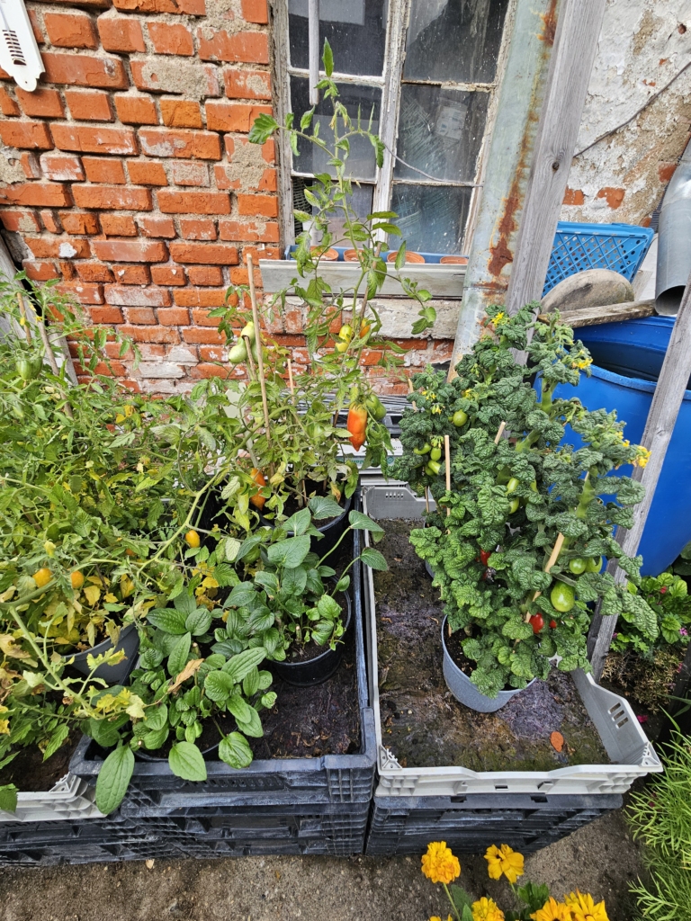
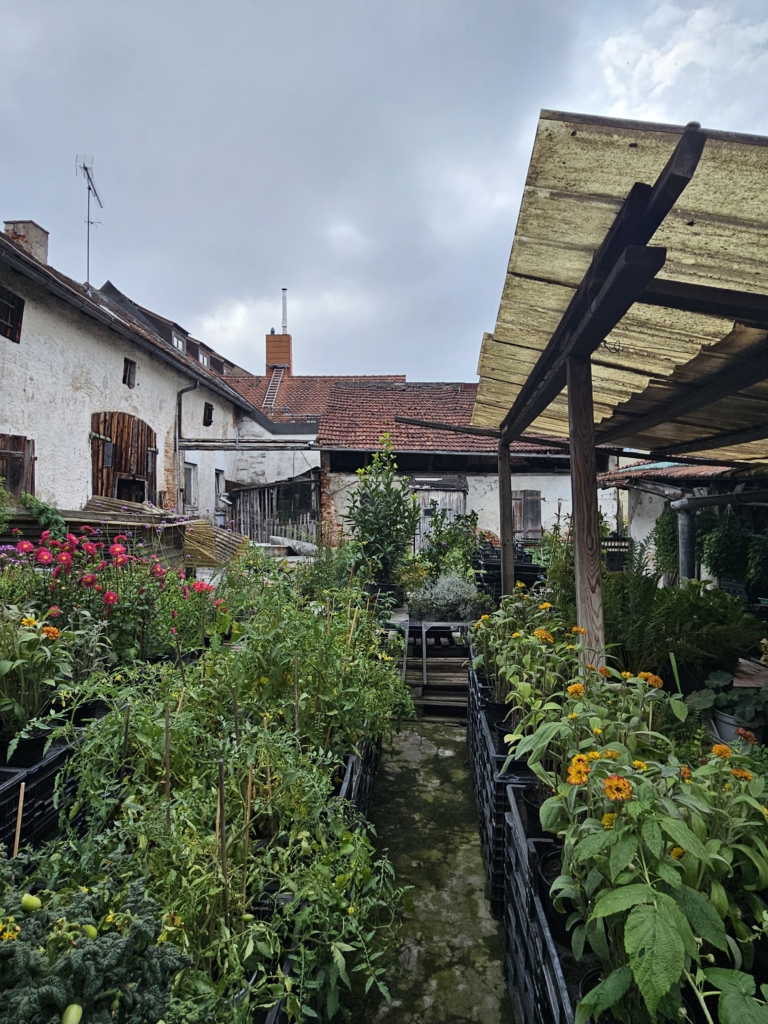
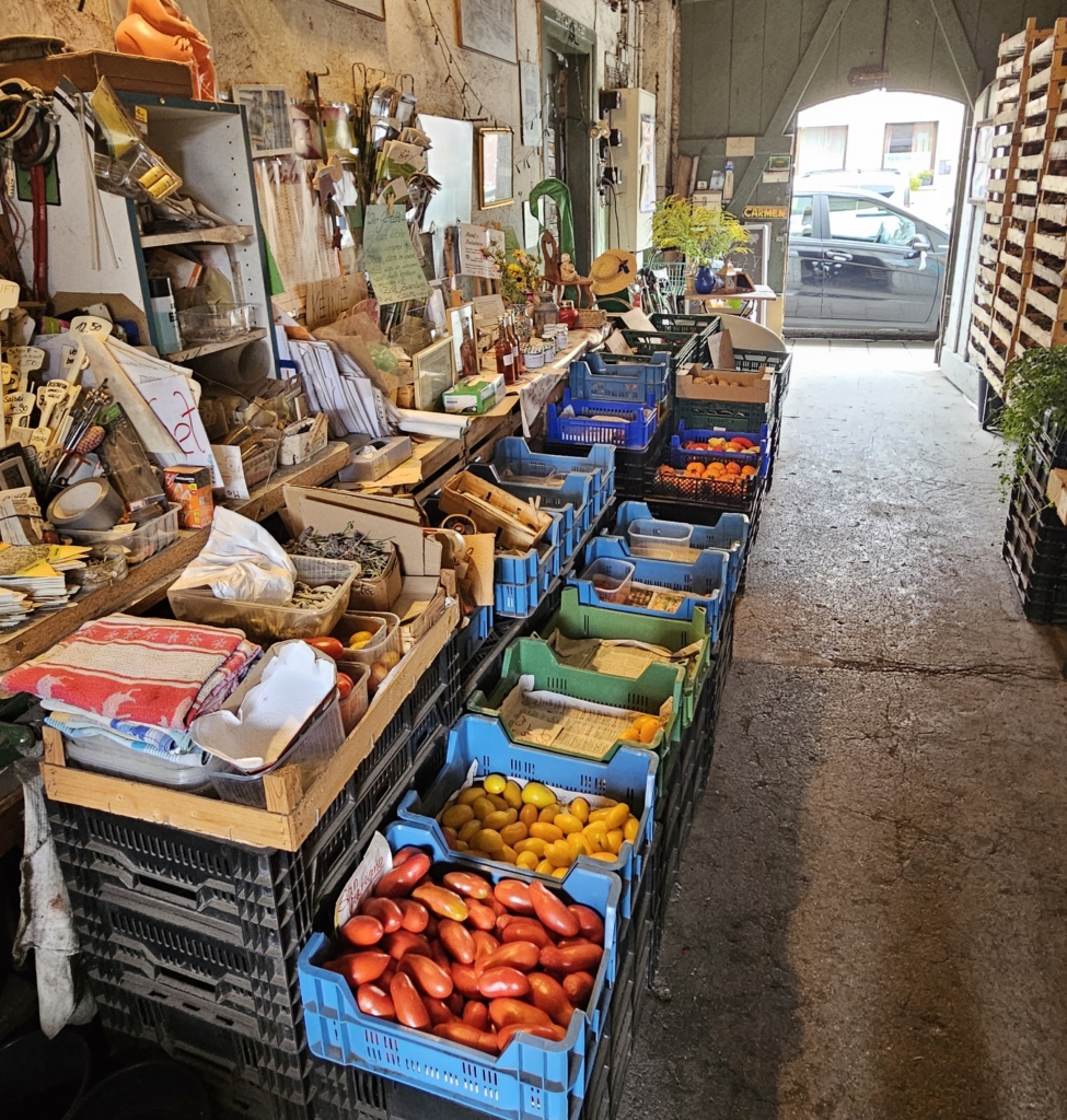
An employee at the Hofstadt Garden told us that the farm has been in operation since the 16th century and that it covers 4,500 square metres. However, during our conversation, it also became clear that it is becoming increasingly difficult to keep the garden running due to a lack of support and customers. More and more locals are shopping at stores or online, whereas tourists are the ones who appreciate the work and tradition, she said. Afterwards, we stocked up on vegetables and made our way to the World Heritage Centre.
We were warmly welcomed there by Simona, Rabea and Maurice. We discussed how places like Bamberg can remain habitable and the challenges involved in preserving the gardeners’ way of life in the Gärtnerstadt district. We also learnt about the differences and unique features of the three historic districts. In the Gärtnerstadt, vegetables have been grown by hand and sold for many centuries. The Inselstadt, home to the old town hall, was the seat of the middle class, while the Bergstadt was the seat of the church and the powerful. All three districts are part of the UNESCO World Heritage Site, showing the city’s well-preserved early medieval structure.
Maurice and Rabea’s favourite places to hang out were the recreational area in the Hain, the many beer cellars that serve as popular gathering places for locals and the party district of Sandstraße, including the Schlenkerla, where plenty of Rauchbier is drunk. They also mentioned ‘Am Kranen’ — a centrally located spot along the Regnitz where people often gather.
Later, we met Sophia, who moved to Bamberg for university. She said that the city is a great place to live, partly because of the university, which brings the city to life, and partly because of the nearby nature, such as the Hain and the Regnitz River, which is perfect for swimming or for people to gather in the summer. She also mentioned the vibrant pub culture on Sandstraße, as well as the concert hall, which is a popular spot for sports activities such as spike ball and volleyball.
Everyone highlighted the city’s compact size, diversity and proximity to nature in the Hain and along the Regnitz River as particularly appealing aspects of city life, as well as the lively beer cellar and pub culture. The beautiful architecture is also highly valued here.
After getting a sense of the city from the locals, we wanted to explore it a bit more on our own.
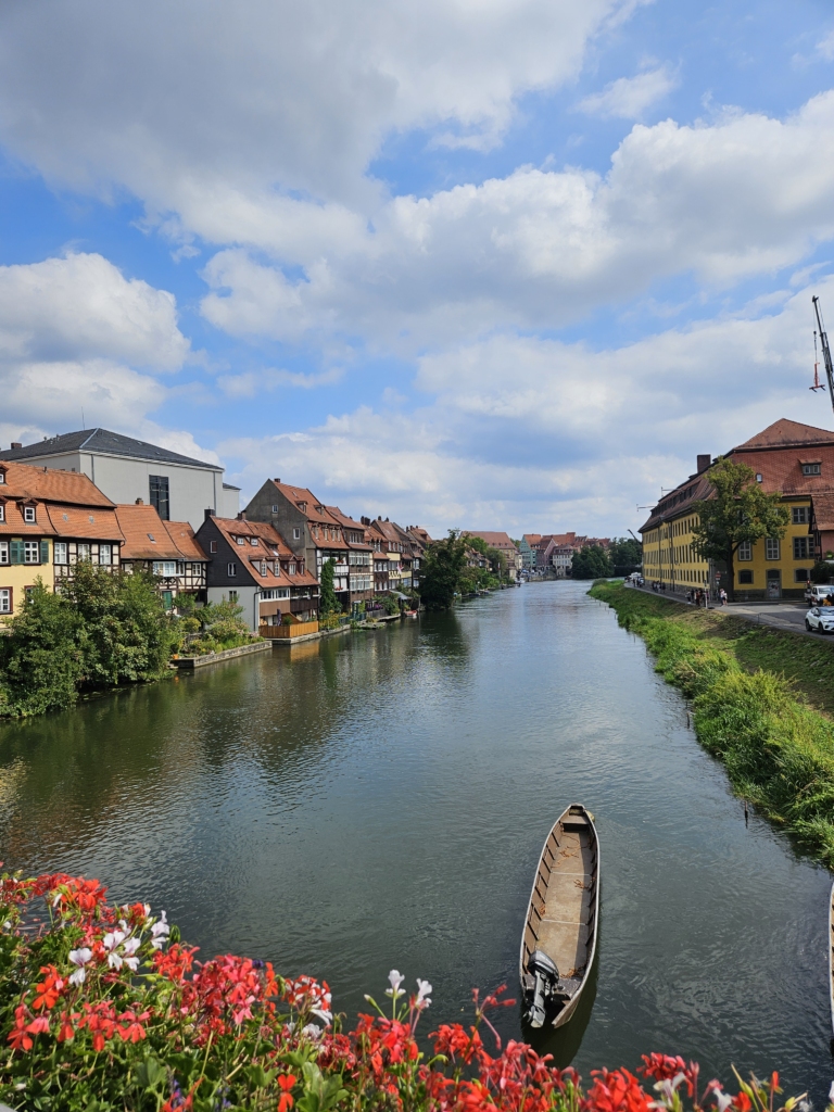
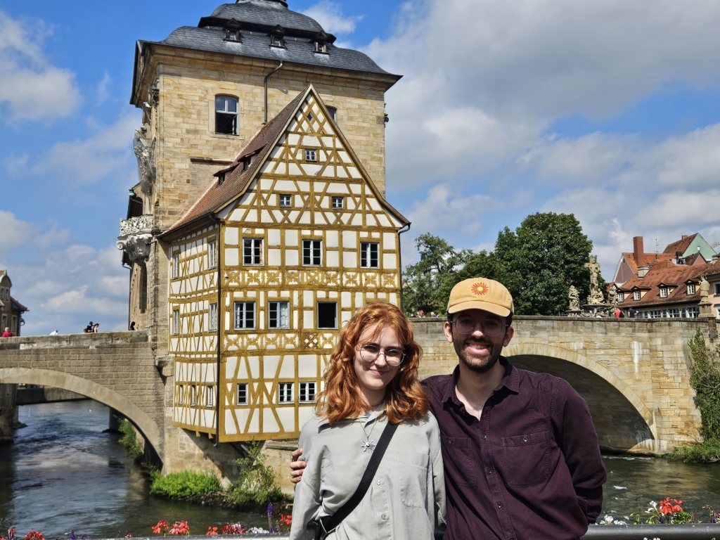
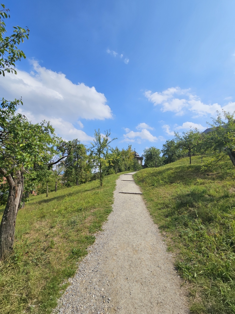
We first walked through the Inselstadt, and then walked up to the St. Michael monastery complex through an orchard meadow, which was quite a workout! Once we reached the top, we were rewarded with a beautiful view of the city.
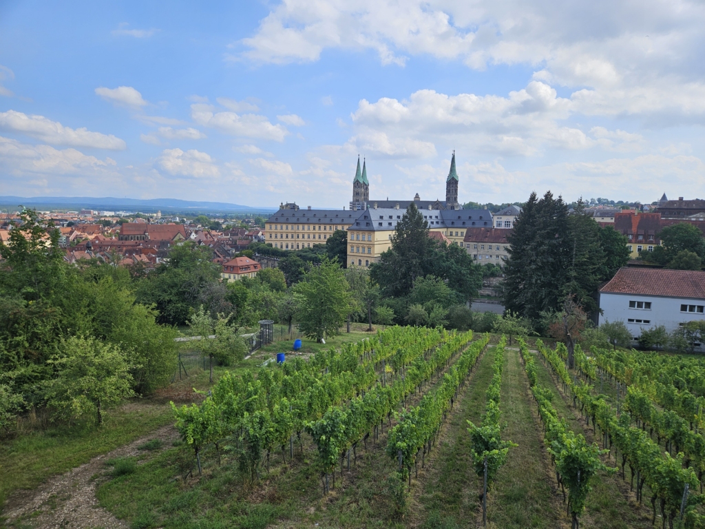
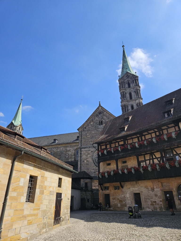
Unfortunately, due to construction work, we weren’t able to go inside the church. On our way back, we walked to Bamberg Cathedral and stopped for a quick bite to eat.
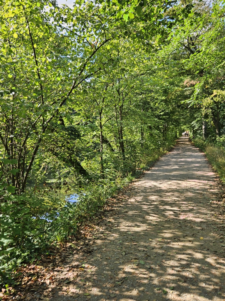
For our sketch and watch session, we started searching for a place recommended by the locals, where people like to spend their free time. After Maurice, Rabea and Sophia had recommended the Hain to us as a special gathering place and recreational spot, we set off along the Regnitz River to find it. The Hain was beautiful, wooded, and perfect for a walk. However, as we explored further, we didn’t see many people. Only a few people were swimming here and there, so we headed back.
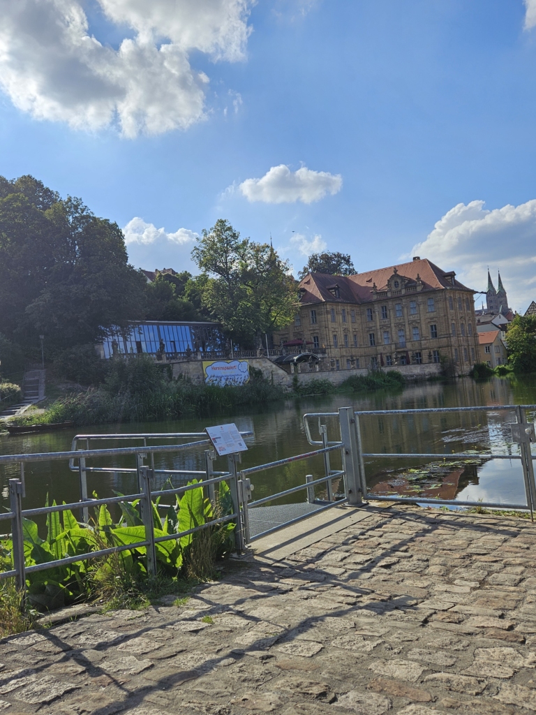
Our next idea was to visit a beer cellar. To reach it, we spoke to the ferryman, who unfortunately informed us that the next two beer cellars were closed. During the conversation, he also shared his thoughts on the city. For him, too, nature and the Regnitz River play a very important role in his daily life. He also mentioned the Schlenkerla, talking about its Rauchbier culture as a place for people to gather.
After searching for a long time, we finally arrived at the Schlenkerla, where lots of people were already standing outside with a beer in hand. That sealed the deal for us!
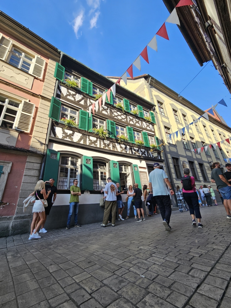
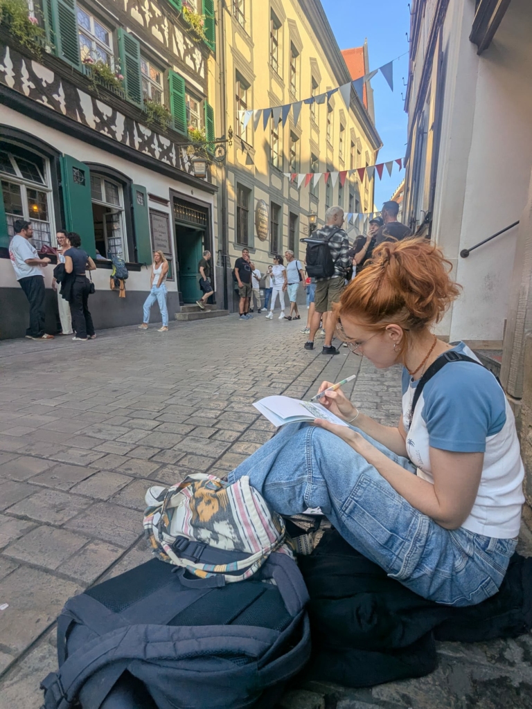
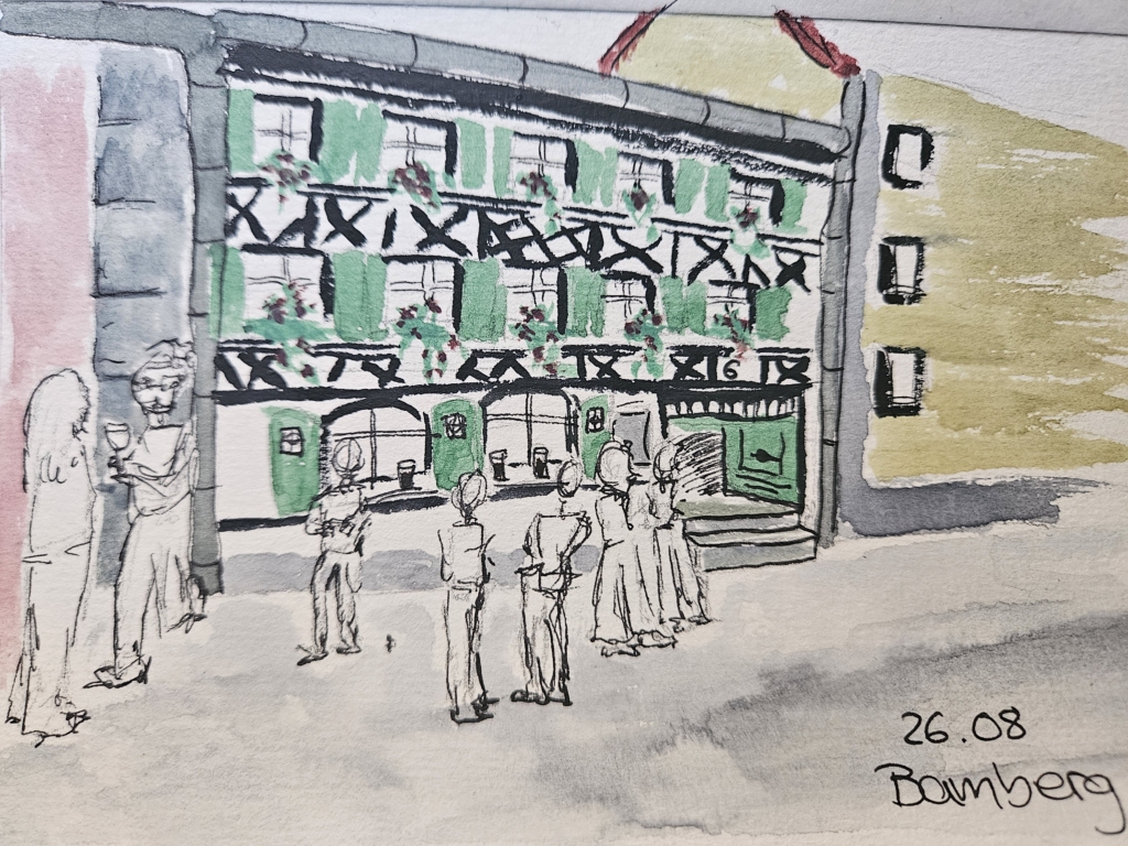
1. We’re sitting on the floor of Bamberg’s inner-city pedestrian zone with our rain jackets spread out beneath us. This exposed – and somewhat uncomfortable – position does, however, give us a perfect view of the hustle and bustle outside the ‘Schlenkerla’ pub.
2. At first, I’m puzzled: Guests enter the pub and leave again shortly afterwards. They deliberately stand in front of the pub and drink Rauchbier – a dark brown beer with a smoky flavour. The Schlenkerla’s windowsills become makeshift bar counters: people set their drinks down, chat with friends and strike up conversations with other guests. Although people stand back to back, it doesn’t feel cramped – quite the opposite: The street comes to life and, whilst enjoying the evening warmth, relaxed and spontaneous interactions arise.
3. One family in particular caught my attention: a father, a mother and two sons in their late 20s, all standing in front of the green-façaded pub with a Rauchbier in hand, chatting. After every sip, the father sets his glass down on the windowsill and tries several times, somewhat awkwardly, to rest his elbow casually on it – but it’s a little too high for him.
4. Shortly afterwards, a small dog on a lead walks past the Schlenkerla. As it passes, the dog barks at several of the guests. The father watches this unfold and starts barking back: woof, woof, woof. The dog’s owner is clearly surprised by this – as am I. The older son laughs heartily with his father, whilst the younger son bashfully holds his hand over his face – the dog continues to bark, undeterred. Later, another woman walks past them. They recognise her and have a long chat with her, while all the family members take turns stroking the dog, who is perched on his owner’s arm.
5. I’m amazed at the speed with which the older son downs his beers. In the end, I count four Rauchbiers, which he gets one after the other from the Schlenkerla. Consequently, his mood grows increasingly cheerful: he gives his brother a hug, clinks glasses with those around him and strikes up a conversation with a passing photographer who takes a picture of him. I get the impression that he’s neither extremely drunk nor a nuisance to those around him – he embodies the relaxed atmosphere outside the Schlenkerla perfectly.
6. A few moments after the family moves their ‘table’ to join another group, two young students take their seats. One of them casually hooks his shoulder bag onto a window hook – he’s clearly done this before. Both men are wearing baggy trousers, loose-fitting shirts and jewellery. As one of them is dazzled by the sunset, the other lends him his cap without a moment’s hesitation. I cannot make out what they are saying, but the accompanying gestures of one of the men suggest that they are discussing an interesting topic: he claps his hands, flexes his upper arms demonstratively and pulls several funny faces.
7. A middle-aged couple are standing right by the front door. They are chatting at length, occasionally exchanging kisses and hugs. They are clearly at ease and take up the space as if it were their own – whilst he drinks a Rauchbier and she drinks a glass of white wine. I notice that it is only women who choose white wine instead of beer. This also applies to two middle-aged women standing by the farthest window, who are chatting about what’s happening in the street.
8. A little further away, a young couple is leaning against the wall. They are sharing a Rauchbier rather unevenly: the man drinks most of it and occasionally pushes the glass into his girlfriend’s hand; she takes a small sip in passing and hands it back to him. She is much more focused on the conversation, showing her boyfriend several photos on her mobile phone and briefly pulling him into a side alley to draw his attention to something with her outstretched index finger. Her boyfriend’s attention, meanwhile, is clearly divided more evenly – between his girlfriend and the Rauchbier.
9. Towards the end of my observations, an elderly couple arrive at the Schlenkerla. While the woman went inside, the man waits in his wheelchair outside. Even before she comes out, he begins filming the entrance with his mobile phone. When she returns with two Rauchbiers in her hand, she notices his phone, poses briefly with a laugh, before giving him a beer and a peck on the cheek.
10. In a side alley, a couple in their late twenties are drinking a Weißbier – not a Rauchbier! Their large rucksacks are leaning against the wall. The man strikes up a conversation with an older man about his T-shirt. This marks the start of a Franconian monologue, in which the older man first explains that he had the logo of his own workshop printed on the T-shirt, before going to recount his entire life story. I’m surprised that the couple listens to him with interest, asking follow-up questions.
11. Amongst the many guests, there are certainly tourists outside the Schlenkerla too: An English-speaking South Asian man asks his wife to take a photo of him with a Rauchbier, whereupon she directs him into a good position. Another large group of men clink glasses repeatedly – they have small backpacks on their backs or between their legs. A day trip to Schlenkerla?
The street in front of the Schlenkerla becomes one big open-air bar for everyone. You can chat with your friends or strike up the sort of conversations you would have in a pub with people at ‘neighbouring tables’ or passers-by. The outdoor setting – and no doubt the Rauchbier too – creates a lively atmosphere where, in fine weather, you can forget your worries, get caught up in conversation and make new friends.
After spending a day in Bamberg, we have to say that it is a beautiful, compact and nature-oriented city with a lively atmosphere. The high quality of life was especially seen in the vibrant pub culture, as observed at Schlenkerla, where locals mingled together.
31/Aug – 03/Sep
After Amsterdam, Bruges felt almost like a change of scale.
I arrived by bus and was immediately given a choice: around twenty minutes by public transport or roughly forty minutes walking to where I was staying. Tired, carrying luggage and having already spent much of the day travelling, I chose to walk.
That decision gave me something I probably would have missed otherwise: a gradual introduction to the city. At first, little suggested the Bruges millions of visitors come to see. Then towers began appearing above the roofs. The architecture became older, the streets narrower and the number of visitors increased almost step by step until, without any dramatic entrance, I realised I had entered the historic centre.
That first walk already revealed something that would become important during the following days. Bruges has an unusually readable historical geography. There are places where the transition into the old city can almost be felt physically, not because contemporary life suddenly disappears, but because streets, waterways, buildings and the surviving traces of the former fortifications begin to form a remarkably coherent landscape.
The Historic Centre of Brugge was inscribed on the UNESCO World Heritage List in 2000. The property covers 410 hectares and encompasses much of the historic urban centre, rather than a single monument or small architectural ensemble.
Its significance is closely connected to the long continuity of the city itself. Medieval Bruges became one of Europe’s major commercial and cultural centres, linked through trade to a wide network of cities and regions. Its economic importance supported civic, religious and artistic development, leaving a dense concentration of churches, public buildings, hospitals, commercial structures and domestic architecture.
The city also became an important centre of the Flemish Primitives, associated with figures such as Jan van Eyck and Hans Memling.
Much of the medieval street pattern and canal network survived. Although most of the original fortifications disappeared, their line remains legible through waterways, ramparts and the surviving city gates.
UNESCO also makes an important distinction: Bruges is not valued because it has remained unchanged. Its heritage lies partly in the continuity between historical fabric and centuries of adaptation. The city is explicitly described as an active, living city.
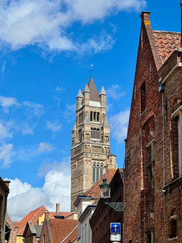
Walking through Bruges, that continuity is immediately understandable. The skyline, canals, brick architecture, narrow plots and street network create one of the clearest historic urban landscapes I encountered during the trip.
Precisely because the physical city is so legible, it becomes interesting to look at how contemporary functions fit within it.
On my second day, I deliberately followed the places through which most visitors encounter Bruges.
Markt, Burg, the canals and the monumental streets connecting them. It is difficult not to be impressed. Bruges has an unusual degree of visual continuity and, in some moments, the historic centre feels almost composed as one continuous urban scene.
The commercial landscape also becomes recognisable quite quickly: chocolate, waffles, fries, beer, souvenirs, restaurants, hotels and boat tours.
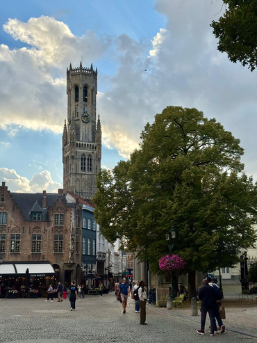
None of these activities is unusual in a major heritage destination. What interested me was their spatial organisation. In some of the most visited streets, visitor-oriented activities are especially visible. A few streets away, the balance can change considerably. Residential entrances, quieter cafés, pubs, small businesses and less specialised activities become easier to notice.
The distinction is not absolute. A café can serve both residents and visitors, a chocolate shop can be part of the visitor economy while also contributing to the contemporary identity of Bruges. Tourism itself is deeply integrated into the city’s economy and international visibility.
What walking made visible was therefore not a simple separation between “tourist” and “local” areas, but different degrees of functional concentration.
A street where many businesses respond to similar visitor demands can operate differently from another street where a broader range of functions coexist, even when both belong to the same historic fabric.
A few days later, while we were both in Brussels, I had the opportunity to discuss this with Karel Dendooven, Manager of the Department of Monument Preservation and Heritage Affairs of Bruges.
His perspective added an important management dimension to what I had noticed on foot.
He explained that the concentration of visitor-oriented activities within particular central areas also has a spatial logic. Keeping these uses relatively concentrated can help limit their spread throughout other parts of the city. At the same time, high concentration naturally gives some streets a much more specialised commercial profile.
What I had initially perceived simply as repetition therefore became more interesting as an example of urban management involving competing objectives rather than straightforward solutions.
The question is not whether tourism should or should not be present. Bruges’ attractiveness is itself closely connected to the success of its heritage preservation.
The more interesting issue is how different functions can continue to coexist within the same historic centre.
Whenever I moved away from the principal visitor routes, the city changed gradually.
Around Coupure, along the former ramparts and later towards the station, crowds became less prominent. Residential uses were easier to notice, streets became quieter and different types of everyday landscape emerged.
Near the cycling tunnel by Brugge station I even found a small green area with donkeys, an unexpectedly rural-looking scene after hours of canals, medieval towers and monumental streets.
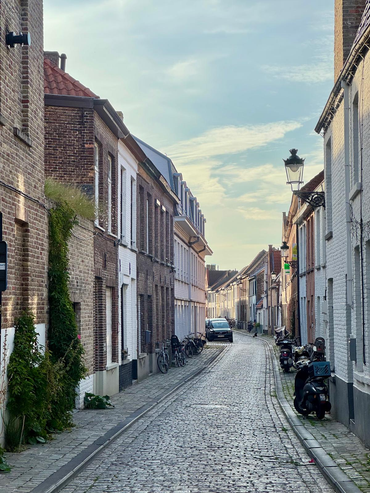
This helped clarify something important for Beyond the Postcard. The aim is not to leave the visitor areas behind in search of a supposedly more “authentic” Bruges.
The central squares, boat tours, chocolate shops and hotels are as much part of contemporary Bruges as its quieter residential streets.
What changes is the relative presence of different activities and users. These landscapes coexist but do not occupy space evenly.
That becomes particularly visible in Bruges because the historic boundary itself remains unusually readable. Ezelpoort, Smedenpoort, Gentpoort and Kruispoort still mark passages through the line once defined by the fortifications, while waterways and the remaining ramparts reinforce the overall form of the historic city.
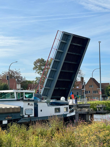
Experiencing these edges on foot made me think less about the World Heritage boundary itself and more about the functional geographies operating inside and around it.
Where do different commercial activities concentrate? Where is housing more visible? Where do visitors and residents appear to share the same spaces most naturally? How quickly does the intensity of the central visitor landscape change?
Unlike the UNESCO boundary, these patterns cannot be represented by a single precise line. They behave more like gradients.
For a spatial approach, this is particularly useful. A historic centre can appear as a coherent polygon on a map while containing several very different urban environments within that same boundary.
My conversation with Karel also introduced another dimension: residential continuity.
A living historic centre needs to accommodate different functions at the same time. Housing, hotels, businesses, services, cultural activities and visitor infrastructure all compete for limited central space, while responding to different economic conditions.
This does not mean that one of these uses is inherently incompatible with the others. Instead, it makes the balance between them part of heritage management itself.
The question becomes not only how buildings are conserved, but how a historic centre continues to perform as a contemporary urban environment.
That is particularly relevant in Bruges because the city has achieved such strong material continuity.
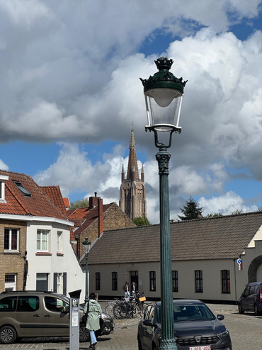
The skyline, canals, Gothic architecture, street pattern and historic buildings create a powerful sense of continuity, but a city is also made by less visible elements: everyday routines, economic activities, social relationships, knowledge of place and patterns of use.
These inevitably evolve. The important point is not to expect historical functions to remain frozen. Cities have always changed, and Bruges itself contains layers of adaptation accumulated over centuries.
What becomes interesting is understanding how contemporary changes interact with the functions already present.
Tourism illustrates this particularly well. It should not be understood simply as an external pressure on the city. People visit Bruges because its heritage has been preserved successfully and because the city offers an exceptional urban experience. Tourism is therefore partly an outcome of heritage value.
At the same time, visitor demand influences commercial activity, investment and the ways central space is used.
Karel’s explanation of concentration made this relationship more nuanced for me. Spatial concentration can help organise visitor activity and protect other parts of the city from the same intensity, while also creating very distinct functional landscapes within the centre.
Seen this way, the relevant questions become more analytical.
How are different activities distributed across the historic centre? How does commercial diversity vary between highly visited streets and quieter areas? Where does housing remain most visible? Which spaces seem to support overlapping uses rather than specialised ones?
My walks could suggest these patterns, but they could not explain them fully.
Observation shows where contrasts appear. Conversations with people who know the city help place those contrasts within a wider institutional, economic and social context. More systematic spatial and socioeconomic data would then be necessary to understand their scale and representativeness.
This is increasingly where I see the role of Beyond the Postcard: not as a complete assessment of a city, but as a way of identifying relationships and questions that become visible through movement, observation and dialogue.
Bruges left me with a different emphasis from Amsterdam.
Amsterdam made particularly visible the coexistence of several intense urban systems within the same physical city.
Bruges made me think more about continuity.
The continuity of its streets and architecture is immediately visible, but the continuity of a living city also depends on how different functions remain accommodated within that fabric.
After three days, my strongest impression was not of a city frozen in the past, nor of one defined exclusively by tourism.
It was of a city where heritage, residence, commerce and visitation are closely interwoven, but become more or less visible depending on where you walk.
Moving between crowded central streets, quiet canals, residential areas and the edges of the former fortifications made those differences tangible. My later conversation with Karel helped explain why some of them may also reflect deliberate choices and wider management trade-offs.
For Beyond the Postcard, Bruges became an example of how preservation can be considered not only in terms of what physically survives, but also in terms of how a historic urban structure continues to accommodate change without losing the diversity of functions that make it a city.
28/Aug – 31/Aug
Amsterdam was the first stop of my Beyond the Postcard journey, and an appropriate place to begin asking what it means for a World Heritage City to remain a living city.
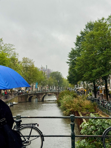
I arrived from Lisbon on a rainy Friday afternoon, took the train from Schiphol and walked from Amsterdam Centraal to my hostel under the rain. Waiting for me was an envelope from Aafje Moonen, from the World Heritage Office of the City of Amsterdam, containing a suggested route, postcards, brochures and personal recommendations.
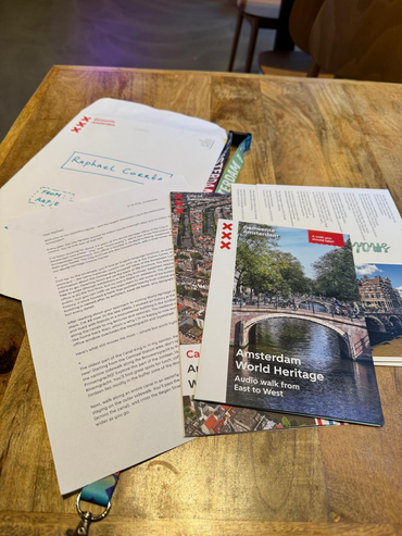
Her route became an important starting point. Rather than simply connecting landmarks, it followed the historical development of the Canal Ring and invited me to notice relationships between architecture, water, movement and everyday urban life.
That fitted particularly well with the broader question behind my project. Heritage is not only what remains physically preserved. A historic city is also made by the functions, movements, practices and relationships that continue to take place within it.
Before exploring any of that, however, I needed dinner. I found a version of stamppot without pork and, while dealing with the receipt afterwards, learned an early practical lesson about Amsterdam: do not handle small and important objects too close to a canal. My hostel locker key disappeared directly into the water. Fortunately, the staff found the situation more amusing than catastrophic, opened my locker and gave me a new padlock — this time with three keys.
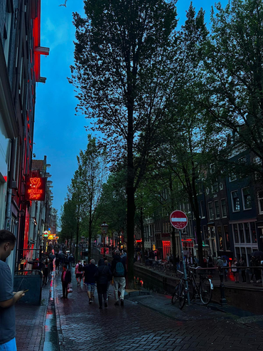
Later that evening, while wandering without much direction, someone knocked on a window to get my attention. Only then did I realise I had entered the Red Light District.
Earlier in the evening, the area had contained several forms of urban life at once: tourists finishing their day, residents and workers crossing the neighbourhood, curious visitors and groups gradually gathering. When I returned later, the same streets had changed almost completely. They were densely occupied, movement was more difficult and most people seemed to be there for a much more specific purpose.
This became one of my first observations in Amsterdam: the same physical place can perform very different urban functions according to time, users and expectations.
Amsterdam as a whole is not a UNESCO World Heritage Site. The property at the centre of this journey is the Seventeenth-Century Canal Ring Area of Amsterdam inside the Singelgracht, inscribed on the World Heritage List in 2010. It emerged from the enormous expansion of Amsterdam at the end of the sixteenth and during the seventeenth century, when marshland around the existing city was drained and transformed through an ambitious system of concentric canals, streets and building plots.
UNESCO recognises it not simply because the canals are beautiful, but because the ensemble represents an exceptional example of hydraulic engineering, town planning and urban expansion. Amsterdam was becoming one of the most important commercial cities in the world, and the Canal Ring gave physical form to that growth. Its model subsequently influenced urban planning far beyond the Netherlands.
This distinction became important for the project. The World Heritage boundary may be precisely defined on a map, but the processes that make the area live (tourism, housing, mobility, commerce, infrastructure and everyday routines) do not stop at that line.
The following morning, still under heavy rain, I began Aafje’s route.
From Amsterdam Centraal I walked towards Brouwersgracht, Noordermarkt, the Jordaan and Prinsengracht, passing the Anne Frank House, crossing the Negen Straatjes, continuing through the canals around Reguliersgracht and eventually reaching Magere Brug over the Amstel.
I did not follow the route strictly. Getting lost was useful.
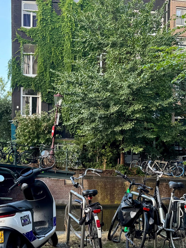
It is easy to read Amsterdam’s canals primarily as scenery. Walking them for several hours makes that interpretation increasingly difficult.
The canals were part of the mechanism through which the city expanded. They organised transport and drainage, but also streets, parcels, housing, commerce and the relationship between the city and its port. The UNESCO Urban Heritage Atlas describes the Canal Ring as an urban landscape structured by canals, streets, building lines, plots and vegetation — not simply a collection of monuments.
Centuries later, water continues to structure movement.
Every few metres, pedestrians, bicycles, cars, trams and boats negotiate the same narrow geography. Bridges concentrate crossings. Some canal streets function as almost intimate residential corridors; others rapidly open into highly commercial spaces or major visitor routes.
The canals therefore operate simultaneously as heritage, infrastructure, public landscape, mobility network and destination.
Aafje had also suggested looking at the canal houses themselves, particularly how their dimensions and architecture changed through different phases of the expansion. Once noticed, those variations became difficult to ignore. Yet I increasingly found myself looking at what happened at street level.
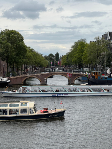
Cannabis shops, souvenir shops, cafés, restaurants, hotels, hostels, museums and highly specialised visitor experiences occupy considerable parts of central Amsterdam.
Around the Anne Frank House, visitors accumulate around entrances and queues. In the Negen Straatjes, the density of people can transform the experience of a narrow street within minutes. In other places, only a few canals away, the rhythm can become unexpectedly residential.
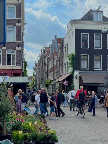
This is where tourism becomes especially interesting from a spatial perspective because the question is not simply how many visitors are present, but how particular concentrations of visitors and businesses alter the functional geography of the city.
A seventeenth-century ground floor occupied by a grocery store and the same ground floor occupied by a souvenir business can be architecturally identical. Yet they sustain very different relationships with neighbourhood life.
Amsterdam itself recognises this problem. Its City Centre Approach explicitly identifies areas where tourist-oriented retail has produced forms of economic monoculture and seeks a better balance between housing, work, local services, culture and tourism.
A façade can therefore remain beautifully preserved while the social and economic function behind it changes considerably. But describing central Amsterdam as a city simply surrendered to tourism would also be misleading.
Residents cycle home through the same streets that visitors photograph. Shopping bags cross bridges. Deliveries squeeze between bicycles. Domestic windows sit only metres from some of Europe’s most internationally recognisable urban spaces.
There is no need to decide which Amsterdam is the authentic one. They coexist.
This coexistence became particularly visible around Chinatown and the Oude Kerk.
One of Amsterdam’s oldest monumental buildings stands almost directly beside the red-lit windows that constitute another internationally recognised image of the city. The area can almost be read archaeologically.
Urban periods and functions have not neatly replaced one another; they have accumulated. Religious heritage, housing, nightlife, tourism, commerce and contemporary regulation occupy nearly the same space. It produces a kind of urban stratigraphy. This idea gradually became central to Beyond the Postcard.
A World Heritage City can appear as one object when seen on a map or in a postcard, while on the ground it contains several overlapping landscapes: residential, tourist, commercial, institutional, infrastructural and patrimonial.
They are not separate layers, they compete for the same buildings, streets and public spaces. Sometimes they support one another. Sometimes they create friction. Different people may also experience the very same place as completely different cities.
That is one reason why understanding heritage requires more than documenting its physical fabric.
It also requires paying attention to who uses the city, how, when, and what they recognise as important.
My conversations with Aafje also made clear that tourism is only one part of the management challenge.
Climate change introduces questions around heat, drought, storms and water. Historic infrastructure has to be maintained and adapted. The electricity grid must evolve as the city electrifies, while interventions such as solar panels or energy-efficiency improvements need to respond to protected buildings and views.
Historic quay walls add another layer: what initially sounds like an engineering problem quickly becomes an issue involving heritage, mobility, public space, budgets, safety and long-term urban management. In other words, preserving a living historic city cannot mean preventing change, it means negotiating change.
And those negotiations involve much more than heritage professionals alone. Residents, businesses, visitors, public authorities, infrastructure providers and different communities can all make legitimate, and sometimes incompatible, claims on the same space.
That has become increasingly important to the direction of my project. Spatial data can tell us where people live, how land is used, where visitors concentrate or how mobility systems operate. But those datasets do not automatically explain how a place is experienced, which changes people perceive as important, or which everyday functions they feel are disappearing or emerging.
Walking, observation and conversations do not replace systematic analysis. They can help reveal where to look more closely.
My final day provided an unintended spatial experiment.
I had to move from the historic centre to accommodation near Sloterdijk before travelling onwards to Bruges. The direct route was already long, so naturally I made it longer.
I passed Dam, Singel and Prinsengracht again before gradually entering areas where the canals appeared less strongly oriented towards visitors. Around Lijnbaansgracht, some sections remained historic but felt quieter, more residential and occasionally rougher around the edges.
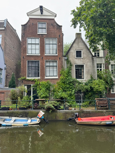
This mattered because World Heritage can create an expectation of visual perfection: restored façades, monumental perspectives and carefully maintained public spaces.
A functioning city contains something else as well:
deliveries, rubbish, scaffolding, maintenance, deterioration, construction and adaptation.
These are not necessarily failures of heritage management. They can also be evidence that a place continues to perform functions beyond being looked at.
As I moved farther from the most intensely visited areas, tourism did not disappear at a clear boundary, nor did everyday life suddenly begin outside the World Heritage property.
Instead, the relative weight of different activities changed gradually.
One of the most useful lessons Amsterdam gave me was to realise that administrative boundaries are precise on maps, but urban landscapes rarely are.
A World Heritage property can be represented as a polygon. Tourism, residential life, commercial specialisation, perceived crowding, belonging and everyday routines behave more like gradients, networks, concentrations and overlapping territories.
For someone approaching cities spatially, that distinction is fundamental.
The City of Amsterdam’s current approach to the inner city reflects many of these tensions.
Its stated ambition is not simply to preserve the historic centre, but to keep it somewhere residents feel at home while remaining open to visitors. Its programme deals with housing, visitor pressure, public space, greenery, economic diversity and the retention of services for people who actually live and work in the centre.
Retail is particularly revealing. If businesses serving residents progressively disappear and are replaced by activities aimed almost entirely at visitors, the architecture can remain unchanged while the capacity of the neighbourhood to support daily life weakens.
A protected façade does not guarantee a living neighbourhood. Residents need housing, groceries, services, mobility and some degree of quiet. Businesses need viable economic conditions. Visitors need access. Historic buildings require protection. Infrastructure requires renewal. Climate risks have to be addressed.
All these demands occupy the same city and reducing that negotiation to “residents versus tourists” would be far too simple. Tourism contributes to employment, culture and Amsterdam’s international character, and visitors are themselves part of the contemporary city.
The more useful question is how the scale, concentration and interaction of different uses affect the possibility for others to remain present.
This is also where I increasingly see the role of Beyond the Postcard. The project is not intended to replace more systematic urban analysis. Housing data, mobility flows, demographic indicators, visitor numbers and land-use information are essential.
But walking, spatial observation and listening to the people who inhabit, use and manage these places can reveal aspects of the city that those datasets alone cannot capture.
They can point to places where apparently abstract urban processes become tangible, identify contradictions worth investigating and, eventually, help decide which questions deserve more structured participatory or analytical work.
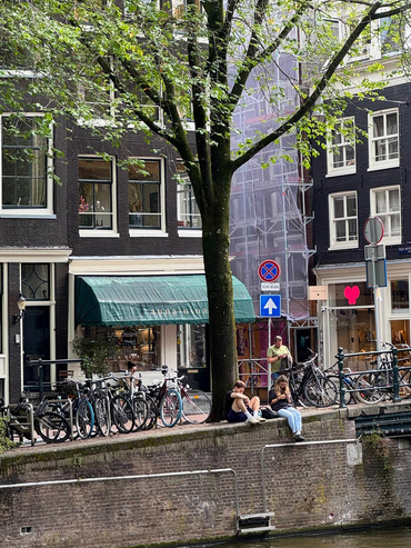
Amsterdam contains several cities within the same physical city.
There is the Amsterdam of seventeenth-century canals, museums, Red Light District windows, cannabis shops, Instagram queues and canal boats.
There is also the Amsterdam of groceries carried home by bicycle, residential windows above intensely visited streets, quieter canals only minutes away from visitor concentrations, and professionals trying to adapt centuries-old infrastructure to contemporary environmental and technological demands.
These versions do not exist independently. They overlap spatially, compete economically, change through time and are experienced differently by different people.
Amsterdam is therefore not simply preserving a historic city. It is continuously negotiating which functions, users and forms of change can coexist within the same extraordinary urban landscape.
Perhaps this is also a useful way to approach habitability in World Heritage Cities: not as a fixed quality that a place either possesses or does not, but as the continuing ability to accommodate different forms of urban life without allowing one to erase all the others.
And perhaps understanding that balance starts not only with mapping the city, but also with listening to the different cities people experience within it.
My name is Vania and I was chosen as one of the winners for OWHC’s 2026 Youth Traveling Scholarship! Thanks to this scholarship, I’ll be documenting and sharing a series of incredible journeys.
I am a 20 year old who grew up as a third-culture kid, so I am familiar with embracing different cultures and perspectives. However, this doesn’t mean I’m never surprised by the things I learn when traveling and meeting new people! Rather, I find myself more and more curious to learn. I enjoy studying languages and international politics, and playing instruments.
To me, heritage is everything that holds the stories of people and places that came before us. This includes, objects, music, literature, buildings, nature, and even politics. These hold legacies that impact us in some way today.
We are living in the “heritage” of tomorrow and must work to preserve our own stories while encouraging a sustainable future, in all aspects. This is OWHC and UNESCO’s mission, too!
Through my project’s title, odes to yesteryear and the hereafter, I hope to capture both the history and the possible future of each place I encounter. Some words that will guide my exploration are: engage, learn, transform, and communicate.
Some of my stops include Philadelphia, Amsterdam, Tarragona, and Avila, with more to follow. In addition to my blogs, I’ll be capturing my experiences through poetry and pictures, to honor and preserve the stories I discover for myself.
Though this is short, and hopefully sweet, there will be more to come. Stay tuned! ^^
~ Vania
@daras_ventures
After the busy days in Vilnius, it was time to slow things down a little. My next stop was Neringa, in the north of Lithuania, on the Curonian Spit. It´s a completely different side of Lithuania with water, dunes, forests and small seaside settlements everywhere around me.
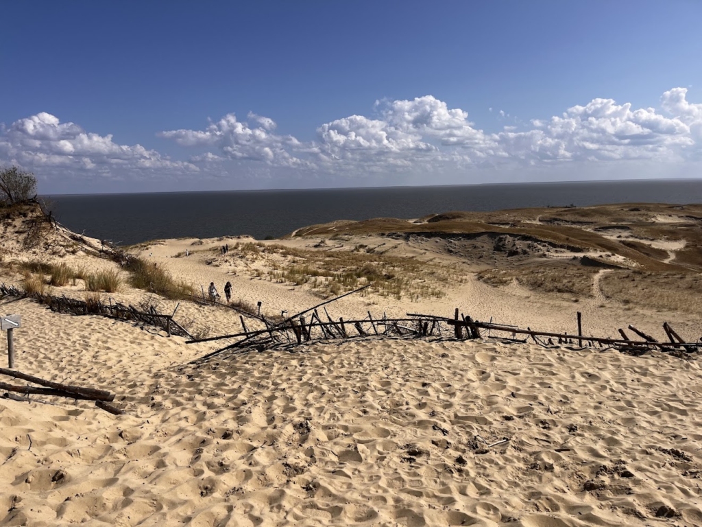
After Vilnius, my next stop was Neringa. I took a bus, and the journey took around five hours. Getting to the Curonian Spit was quite an experience in itself – the bus simply drove onto a ferry, we crossed the lagoon in about five minutes, and then continued our journey on the other side.
A French traveller was sitting next to me, so we started chatting. At one point, we got talking about how he had even discovered that Neringa existed in the first place. And honestly, it made me think – Neringa is not exactly the kind of place you accidentally end up in.
Neringa is a municipality on the Lithuanian part of the Curonian Spit, a long, narrow peninsula between the Curonian Lagoon and the Baltic Sea. It consists of four main settlements: Nida, Preila, Pervalka and Juodkrantė. Nida is the largest and the administrative centre, so this was my base for the next few days.
After arriving in Nida, I checked into my guesthouse, which was in a beautiful spot right next to the harbour and promenade. I went for a walk and immediately fell into the seaside atmosphere. Birds everywhere, boats in the harbour, fresh air – and a completely different pace of life from Vilnius.
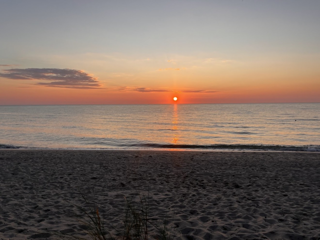
Later, I did some work on my blog and took a little break. In the evening, I walked across the peninsula to the Beach of Nida to watch the sunset. And just when I thought the day was ending perfectly, I spotted a fox after sunset.
My first day in Nida ended with a sunset and an unexpected encouter with wildlife ☺️
The second day started with some more exploring and lunch before things got a lot more interesting.
I met Vita Blažiūnienė, a heritage conservation specialist at the Neringa Municipality, and Angelina Ivanova, Deputy Director of the Nida Culture and Tourism Information Centre “Agila”. Angelina showed me the kind of tour they offer to visitors and explained how they approach tourism in Neringa. We talked about the constant balancing act between tourism and protecting the Curonian Spit National Park, why the area is recognised by UNESCO, what a cultural landscape actually means, and even the challenges of housing in such a protected place.
And then things got a little more adventurous.
Vita took me to Nida Airfield, where I got to fly over Neringa – and even sit in the pilot’s seat. Nida has a long aviation tradition, including a gliding school established here in 1933.
Seeing the Curonian Spit from the air was incredible. Angelina had just been telling me about the shifting sands and how the dunes have shaped and continue to change the landscape, and suddenly I could see exactly what she meant. The narrow peninsula, the dunes, the lagoon on one side and the sea on the other looked completely different from above. I even spotted cormorants flying around us.
The atmosphere at the airfield was incredibly relaxed, and I am so grateful to the pilot and everyone who made this experience possible. I felt a little sick afterwards. But honestly, I would do it all over again.
After that, I finally slowed down and got some rest. In the evening, I walked around the harbour, watched the local life and chatted with some fishermen and a local 🐟
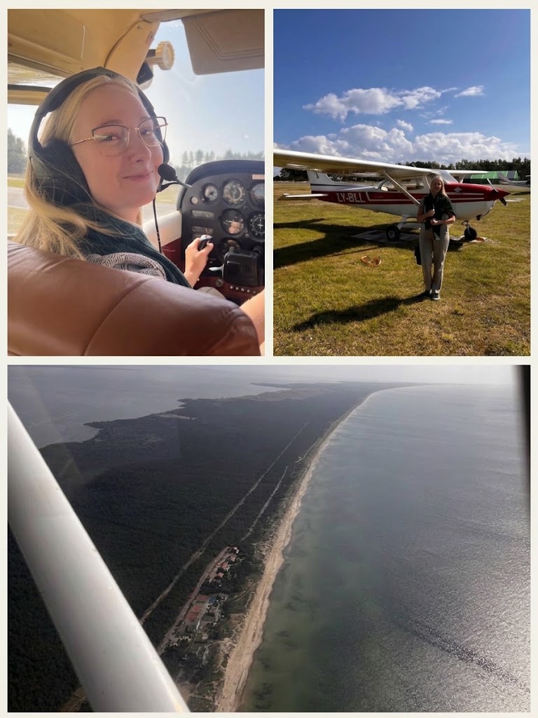
My third day in Nida was a rainy one, so I decided to embrace the weather and spend the morning indoors. I visited the Thomas Mann Museum, located in the summer house where the writer spent several summers with his family, and the Curonian Spit History Museum, which looks at the history and cultural heritage of the peninsula.
After the museums, I had one last lunch in Nida before heading back to Vilnius. From there, I caught my flight to Krakow – and just like that, my Baltic adventure came to an end 🧭
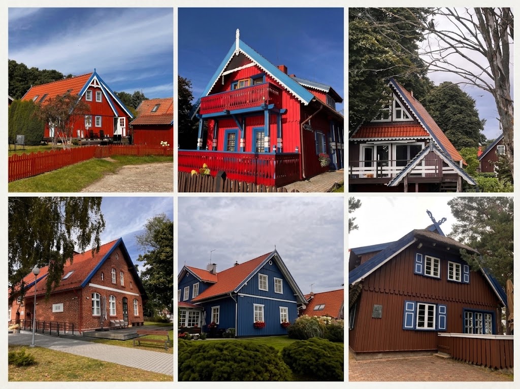
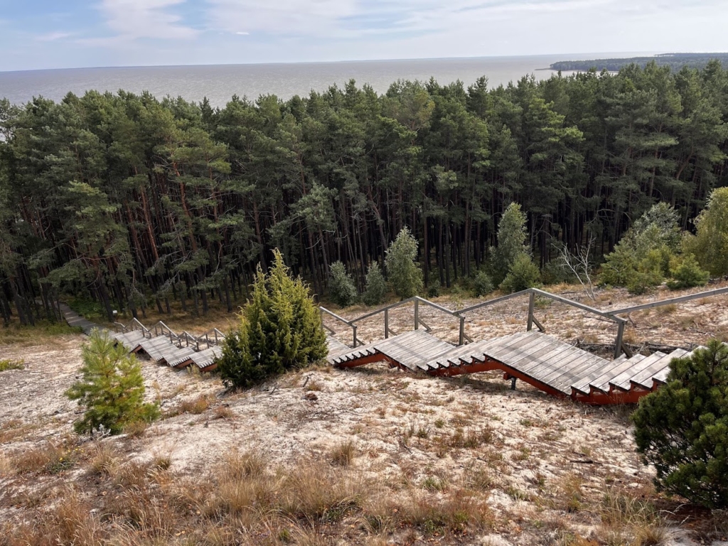
After a few days in Riga, I continued my journey to Vilnius by bus. The ride took only around four hours and was surprisingly comfortable, which makes travelling between Baltic cities by bus really easy. When I arrived, there was a huge storm and strong wind, so I spent the evening having some cepelinai, the traditional Lithuanian dish, and working on my blog. The storm was apparently quite a topic in Vilnius too, as locals kept mentioning it over the next few days.
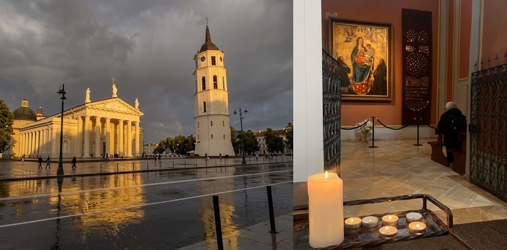
My first day in Vilnius started right in the historic centre, right in the middle of the St Bartholomew’s Fair. Suddenly, the old town felt less like a UNESCO site and more like a medieval town that had somehow forgotten to move on. There were craftsmen in period costumes, blacksmiths, potters, traditional textile techniques, music, dancing and plenty of street performances. The crafts were not just there to look at. They were actually being made, and visitors could try some of the techniques themselves.
I was also pleasantly surprised by how much modern technology Vilnius uses in tourism. At the tourist information centre, artificial intelligence is already helping visitors find their way around the city, while interactive elements can also be found at some historic sites. It is a nice combination – old stones, new technology, and no need to choose between the two.
In the evening, I wanted to go up to the Hill of Three Crosses for the view. Unfortunately, it started rating, so the hill will have to watt for my next visit. I guess I need to leave something for next time.
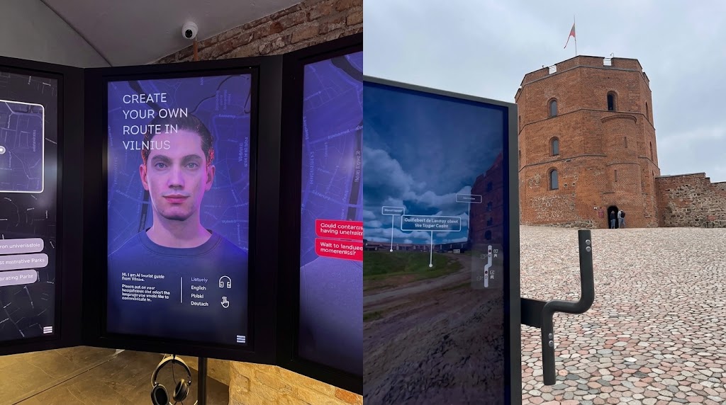
The second day started with a meeting with Jurate Raugaliene, an architect and heritage conservation specialist from the Vilnius Old Town Renewal Agency. We mainly talked about tourism in Vilnius, especially seasonality and how the city deals with the ups and downs of visitor numbers throughout the year. It was interesting to hear how the city looks at tourism not only in terms of attracting more visitors, but also in terms of creating a better balance throughout the year.
After our meeting, we went on a city tour. One of the stops was the Great Synagogue of Vilna. There is no synagogue anymore, but you can still see what has been found underneath the ground. Archaeologists are still working on the site and discovering more about what was once one of the most important places of Jewish life in Vilnius. Another stop was the Auskim weaving studio, where I met Vladas Daškevičius, a third-generation weaver. The studio has been weaving since 1963, and Vladas learned the craft from his mother and grandmother. Today, he continues the family tradition, creating woven bands, rugs and other textiles using traditional Lithuanian techniques, but with a more contemporary look.
What caught my attention was the 100-year-old loom he was working on. The principle is quite simple – threads are lifted in different combinations and the weft is passed through them to create the pattern – but the process itself is much more complicated than it looks. Watching Vladas work made me realise just how much patience and precision goes into something that can look so effortless when it is finished.
Then I went to Užupis, the artistic neighbourhood on the other side of the Vilnelė River. I had heard quite a lot about it, so I was curious to see it for myself. I spent some time just walking around and also talked to two locals about what ITL acually to live there. We talked about how Užupis has changed over the years and how they percieve the growing number of tourists.
It was a good way to end the day – with a lot of new things to think about and, of course, still a few places left on my list for next time ❤️
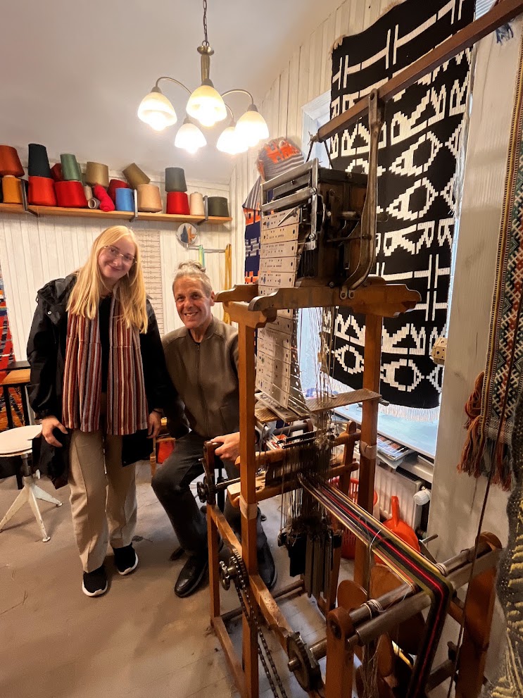
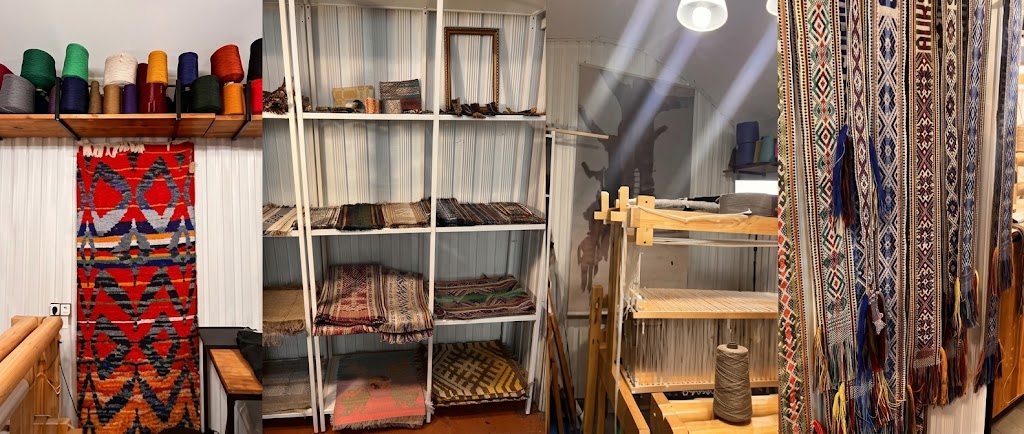
On my third day in Vilnius, I continued exploring the historic centre. I visited several of the city’s churches, walked along Literatų Street, and stopped at the colourful Basilian Gate. Literatų Street was one of my favourite discoveries – its walls are covered with more than 200 small artworks dedicated to writers and poets, so it is basically an open-air literary gallery. I also went up to Gediminas’ Tower.
I also stopped at Galerija 16, right next to St Anne’s Church, where I bought a little ring. After hearing from Jurate about the guild connecting local craftspeople in Vilnius and how the city supports traditional crafts, I wanted to support local makers myself. So the ring became my little souvenir with a purpose.
At 5 p.m., I joined the Meet the Local project and met Natalja, who is 37 and lives in Vilnius. She asked me where I had been so far, and I proudly listed pretty much every place I had managed to see in the historic centre. When I finished, she simply asked: “And have you been across the river?” No. I hadn’t. Apparently, I had been exploring only half of Vilnius. So Natalja decided to fix that.
She took me to Šnipiškės, first through the modern part of the neighbourhood, with skyscrapers and a completely different city skyline. She even took me up to a viewpoint, so I could see the city from above. But then we walked a little further and suddenly the whole atmosphere changed. Among the skyscrapers were tiny wooden houses, gardens and narrow streets, and people were sitting outside, enjoying the summer and getting ready for a barbecue. It felt less like being in the middle of a capital city and more like I had somehow ended up in a little summer cottage area. The wooden houses are part of the historic Šnipiškės settlement, with many dating from the late 19th and early 20th centuries. They survived as the modern city grew around them, which is why today you can literally walk from a skyline of glass towers into an area that feels like a completely different world.
Natalja also took me to a Japanese garden, which was another unexpected stop. We talked about the neighbourhood, how it has changed. I was really impressed by how much she knew about Vilnius and how much she could tell me about the places we were seeing.
Having a local like Natalja with me was simply great – it made the whole afternoon so much more interesting and gave me a completely different perspective on the city 🤩